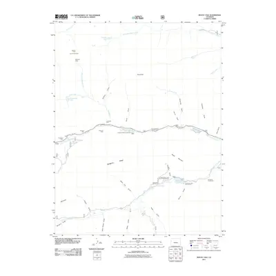
2011 Map of Mount Yale
USGS Topo · Published 2011About this map
Mount Yale anchors this high-altitude landscape where mining legacy and recreational development converge in the Chaffee County mountains. Evidence of early prospector activity is preserved in labels for the Browns Cabin Mine, Holywater Mine, and the Longfellow Claim. These sites sit alongside historic shelters like Browns Cabin and Hangmans Cabin, reflecting the difficult conditions faced by those working the high peaks. The 2011 survey reveals a transition toward modern wilderness management, with established recreational hubs such as Collegiate Peaks Campground and the Cottonwood Lake Picnic Ground. Glacial features define the topography, from the waters of Kroenke Lake and Hartenstein Lake to the steep drainage of Avalanche Gulch and Porphyry Gulch. Transportation is centered on State Hwy 306, which follows the path of Middle Cottonwood Creek to provide access into the heart of the range.
Find a feature on this map
50 named features on this map. Tap any name to fly to it.
Don’t see what you’re looking for? This feature index may not catch every label — zoom into the map to look around manually.
Map Details
Editions of this 2011 Mount Yale Map
This is the sole edition of this map. No revisions or reprints were ever made.
Other maps of this area

1940 · Garfield
USGS Topo · 1:62,500

1945 · Garfield
USGS Topo · 1:62,500

1955 · Buena Vista
USGS Topo · 1:62,500

1955 · Mount Harvard
USGS Topo · 1:62,500

1956 · Poncha Springs
USGS Topo · 1:62,500

1956 · Montrose
USGS Topo · 1:250,000

1959 · Montrose
USGS Topo · 1:250,000

1960 · Montrose
USGS Topo · 1:250,000

1968 · Montrose
USGS Topo · 1:250,000

1982 · Buena Vista West
USGS Topo · 1:24,000