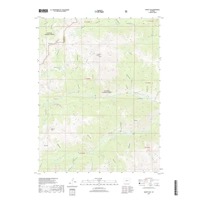
2019 Map of Mount Yale
USGS Topo · Published 2019About this map
Collegiate Peaks Mt Yale towers as the central landmark of this high-altitude landscape, where the boundary between Gunnison National Forest and San Isabel National Forest follows the sharp divides of the Sawatch Range. The terrain is defined by a dense network of drainages and passes, most notably Browns Pass, which historically served as a critical crossing between the eastern and western slopes of the Rockies.
Find a feature on this map
49 named features on this map. Tap any name to fly to it.
Don’t see what you’re looking for? This feature index may not catch every label — zoom into the map to look around manually.
Map Details
Editions of this 2019 Mount Yale Map
This is the sole edition of this map. No revisions or reprints were ever made.
Other maps of this area

1940 · Garfield
USGS Topo · 1:62,500

1945 · Garfield
USGS Topo · 1:62,500

1955 · Buena Vista
USGS Topo · 1:62,500

1955 · Mount Harvard
USGS Topo · 1:62,500

1956 · Poncha Springs
USGS Topo · 1:62,500

1956 · Montrose
USGS Topo · 1:250,000

1959 · Montrose
USGS Topo · 1:250,000

1960 · Montrose
USGS Topo · 1:250,000

1968 · Montrose
USGS Topo · 1:250,000

1982 · Buena Vista West
USGS Topo · 1:24,000