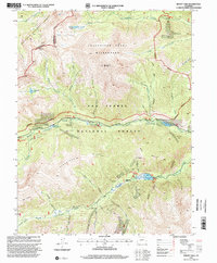
1994 Map of Mount Yale
USGS Topo · Published 2001About this map
Mount Yale towers over the central landscape of the Sawatch Range, marking a high point within the Collegiate Peaks Wilderness. The terrain is defined by the Continental Divide, which separates the Gunnison National Forest to the west from the San Isabel National Forest to the east. High-altitude drainages such as Texas Creek and Middle Cottonwood Creek carve through the granite peaks, feeding alpine waters like Kroenke Lake and Cottonwood Lake.
Find a feature on this map
52 named features on this map. Tap any name to fly to it.
Don’t see what you’re looking for? This feature index may not catch every label — zoom into the map to look around manually.
Map Details
Editions of this 1994 Mount Yale Map
This is the sole edition of this map. No revisions or reprints were ever made.
Other maps of this area

1940 · Garfield
USGS Topo · 1:62,500

1945 · Garfield
USGS Topo · 1:62,500

1955 · Buena Vista
USGS Topo · 1:62,500

1955 · Mount Harvard
USGS Topo · 1:62,500

1956 · Poncha Springs
USGS Topo · 1:62,500

1956 · Montrose
USGS Topo · 1:250,000

1959 · Montrose
USGS Topo · 1:250,000

1960 · Montrose
USGS Topo · 1:250,000

1968 · Montrose
USGS Topo · 1:250,000

1982 · Buena Vista West
USGS Topo · 1:24,000