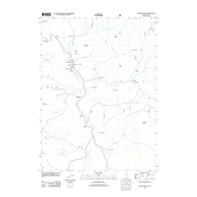
2012 Map of Mountain City
USGS Topo · Published 2012About this map
The Owyhee River carves through this corner of Elko County, defining a high-desert landscape of ranching and mining history. Mountain City serves as the primary hub, where the Mountain City Post Office and Mountain City District Ranger Office are situated near the banks of the river. Just north of the settlement, Banner Hill stands as a landmark for the Silver Banner Mine, indicating the region's enduring connection to mineral extraction.
Find a feature on this map
52 named features on this map. Tap any name to fly to it.
Don’t see what you’re looking for? This feature index may not catch every label — zoom into the map to look around manually.
Map Details
Editions of this 2012 Mountain City Map
This is the sole edition of this map. No revisions or reprints were ever made.
Other maps of this area

1936 · Mountain City
USGS Topo · 1:62,500

1939 · Owyhee
USGS Topo · 1:62,500

1940 · Mountain City
USGS Topo · 1:62,500

1942 · Owyhee
USGS Topo · 1:62,500

1955 · McDermitt
USGS Topo · 1:250,000

1955 · Wells
USGS Topo · 1:250,000

1956 · Bull Run
USGS Topo · 1:62,500

1956 · Wild Horse
USGS Topo · 1:62,500

1958 · Wells
USGS Topo · 1:250,000

1959 · McDermitt
USGS Topo · 1:250,000