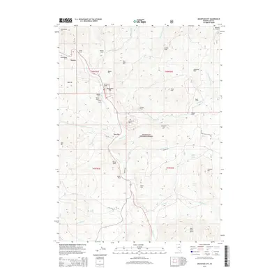
2014 Map of Mountain City
USGS Topo · Published 2014About this map
Mountain City and the nearby settlement of Patsville serve as central points in this high-desert landscape, situated along the winding course of the Owyhee River. The terrain is defined by a series of gulches and ridges, including China Gulch and Granite Ridge, which lead toward the peaks of the Bruneau Range and the Wild Horse Range. Much of the eastern and southern portions of the map fall within the Humboldt National Forest, where the topography rises sharply to features like Haystack Mtn and Bear Foot Mtn.
Find a feature on this map
52 named features on this map. Tap any name to fly to it.
Don’t see what you’re looking for? This feature index may not catch every label — zoom into the map to look around manually.
Map Details
Editions of this 2014 Mountain City Map
This is the sole edition of this map. No revisions or reprints were ever made.
Other maps of this area

1936 · Mountain City
USGS Topo · 1:62,500

1939 · Owyhee
USGS Topo · 1:62,500

1940 · Mountain City
USGS Topo · 1:62,500

1942 · Owyhee
USGS Topo · 1:62,500

1955 · McDermitt
USGS Topo · 1:250,000

1955 · Wells
USGS Topo · 1:250,000

1956 · Bull Run
USGS Topo · 1:62,500

1956 · Wild Horse
USGS Topo · 1:62,500

1958 · Wells
USGS Topo · 1:250,000

1959 · McDermitt
USGS Topo · 1:250,000