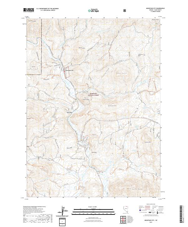
2021 Map of Mountain City
USGS Topo · Published 2021About this map
Mountain City serves as the focal point of this northern Elko County landscape, situated along the Owyhee River at the confluence of several high-desert gulches. The settlement pattern reflects the area's mining and ranching legacy, with Patsville located just to the south. The terrain is defined by dramatic elevation changes, from the heights of the Bruneau Range and Granite Ridge to the deep incisions of Slaughterhouse Cr and California Creek.
Find a feature on this map
113 named features on this map. Tap any name to fly to it.
Don’t see what you’re looking for? This feature index may not catch every label — zoom into the map to look around manually.
Map Details
Editions of this 2021 Mountain City Map
This is the sole edition of this map. No revisions or reprints were ever made.
Other maps of this area

1936 · Mountain City
USGS Topo · 1:62,500

1939 · Owyhee
USGS Topo · 1:62,500

1940 · Mountain City
USGS Topo · 1:62,500

1942 · Owyhee
USGS Topo · 1:62,500

1955 · McDermitt
USGS Topo · 1:250,000

1955 · Wells
USGS Topo · 1:250,000

1956 · Bull Run
USGS Topo · 1:62,500

1956 · Wild Horse
USGS Topo · 1:62,500

1958 · Wells
USGS Topo · 1:250,000

1959 · McDermitt
USGS Topo · 1:250,000