
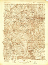
1936 Map of Mountain City
USGS Topo · Published 1936About this map
Mountain City and the neighboring settlement of Patsville serve as the primary hubs for this 1930s survey of the northern Humboldt National Forest near the Idaho border. The map documents an active mining and ranching economy, centered on the Rio Tinto Mine and the Golden Ensign Mine situated among the high ridges of California Hill and Quartzite Hill. Along the banks of the Owyhee River, the landscape is dotted with several named family holdings, including the Hansen Ranch, King Ranch, and Bieroth Ranch.
Find a feature on this map
123 named features on this map. Tap any name to fly to it.
Don’t see what you’re looking for? This feature index may not catch every label — zoom into the map to look around manually.
Map Details
Editions of this 1936 Mountain City Map
4 editions found
Other maps of this area

1935 · Charleston
USGS Topo · 1:48,000

1936 · Rowland
USGS Topo · 1:48,000

1939 · Owyhee
USGS Topo · 1:62,500

1940 · Rowland
USGS Topo · 1:62,500

1940 · Mountain City
USGS Topo · 1:62,500

1942 · Owyhee
USGS Topo · 1:62,500

1942 · Mt. Velma
USGS Topo · 1:62,500

1955 · McDermitt
USGS Topo · 1:250,000

1955 · Jordan Valley
USGS Topo · 1:250,000

1955 · Twin Falls
USGS Topo · 1:250,000