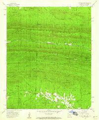
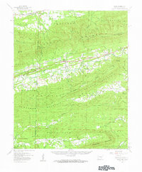
1958 Map of Mountain Fork
USGS Topo · Published 1959About this map
Wilhelmina State Park sits atop the high ridges of Rich Mountain along the border of Arkansas and Oklahoma, where the scenic Skyline Drive follows the crest. This 1958 survey captures a landscape dominated by the Ouachita National Forest and the significant elevation of Black Fork Mountain. The Kansas City Southern railroad cuts through the terrain, serving small siding settlements like Fogel and Howard. The topography is defined by parallel ridges and the intricate drainage basins of the Kiamichi River and the Mountain Fork Little River. Local genealogy interests are anchored by the Healy Cem and the settlement of Mountain Fork, while the northern portion of the map shows the scattered residences of Mitchell near Little Black Fork Mountain.
Find a feature on this map
53 named features on this map. Tap any name to fly to it.
Don’t see what you’re looking for? This feature index may not catch every label — zoom into the map to look around manually.
Map Details
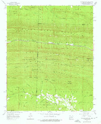
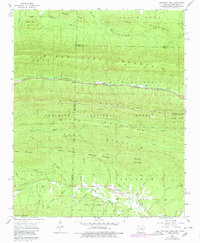
Editions of this 1958 Mountain Fork Map
3 editions found
Other maps of this area

1887 · Poteau Mountain #2
USGS Topo · 1:62,500

1890 · Poteau Mountain
USGS Topo · 1:125,000

1899 · Poteau Mountain
USGS Topo · 1:125,000

1900 · Winding Stair
USGS Topo · 1:125,000

1909 · Winding Stair
USGS Topo · 1:125,000

1950 · Mcalester
USGS Topo · 1:250,000
1958 · Loving
USGS Topo · 1:24,000
1958 · Bates
USGS Topo · 1:62,500

1958 · Potter
USGS Topo · 1:62,500

1958 · Zafra
USGS Topo · 1:24,000