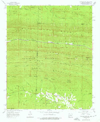
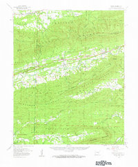
1958 Map of Mountain Fork
USGS Topo · Published 1976About this map
Black Fork Mountain and Rich Mountain dominate this mid-century survey along the border of Arkansas and Oklahoma. The Kansas City Southern railroad cuts through the valley between these ridges, passing the small settlements of Fogel and Howard. To the south, the headwaters of the Kiamichi River flow through the Ouachita National Forest, a landscape marked by steep ridges like Kelsey Mountain and Quentin Mountain.
Find a feature on this map
43 named features on this map. Tap any name to fly to it.
Don’t see what you’re looking for? This feature index may not catch every label — zoom into the map to look around manually.
Map Details
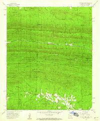
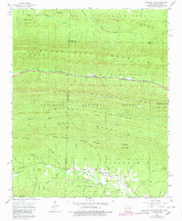
Editions of this 1958 Mountain Fork Map
3 editions found
Other maps of this area

1887 · Poteau Mountain #2
USGS Topo · 1:62,500

1890 · Poteau Mountain
USGS Topo · 1:125,000

1899 · Poteau Mountain
USGS Topo · 1:125,000

1900 · Winding Stair
USGS Topo · 1:125,000

1909 · Winding Stair
USGS Topo · 1:125,000

1950 · Mcalester
USGS Topo · 1:250,000
1958 · Loving
USGS Topo · 1:24,000
1958 · Bates
USGS Topo · 1:62,500

1958 · Potter
USGS Topo · 1:62,500

1958 · Zafra
USGS Topo · 1:24,000