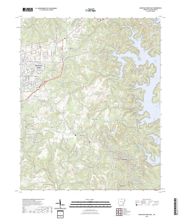
2024 Map of Mountain Home East
USGS Topo · Published 2024About this map
Mountain Home occupies the northwest corner of this Baxter County landscape, where the urban grid gives way to the finger-like inlets of Norfork Lake. The topography is defined by significant elevation changes, from the prominent Heart Bald and Birdsong Mtn down to the recessed corridor of Smith Hollow in the south. This terrain has historically influenced settlement patterns, concentrating development on the plateaus while leaving the steep drainages of Fall Creek and Panther Fork relatively undeveloped.
Find a feature on this map
192 named features on this map. Tap any name to fly to it.
Don’t see what you’re looking for? This feature index may not catch every label — zoom into the map to look around manually.
Map Details
Editions of this 2024 Mountain Home East Map
This is the sole edition of this map. No revisions or reprints were ever made.
Historical Maps of Heritage Estates Through Time
16 maps found
1964 Norfork Dam South
Baxter County, AR
1965 Clarkridge
Baxter County, AR
1965 Norfork Dam North
Baxter County, AR
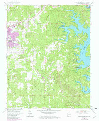
1966 Mountain Home East
Baxter County, AR
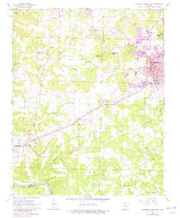
1966 Mountain Home West
Baxter County, AR
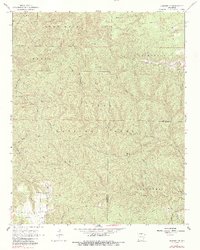
1966 Norfork SE
Baxter County, AR
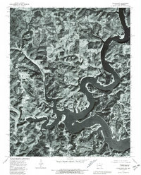
1979 Clarkridge
Baxter County, AR
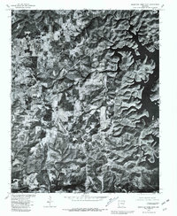
1979 Mountain Home East
Baxter County, AR
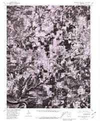
1979 Mountain Home West
Baxter County, AR
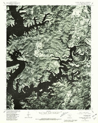
1979 Norfork Dam North
Baxter County, AR
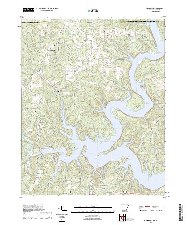
2024 Clarkridge
Baxter County, AR
2024 Mountain Home East
Baxter County, AR
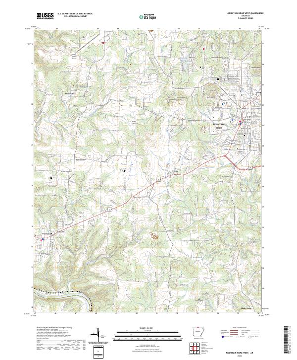
2024 Mountain Home West
Baxter County, AR
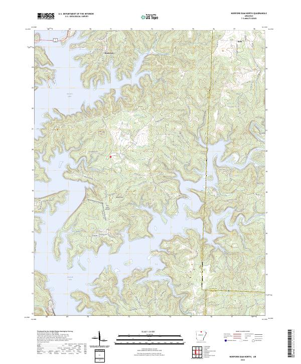
2024 Norfork Dam North
Baxter County, AR
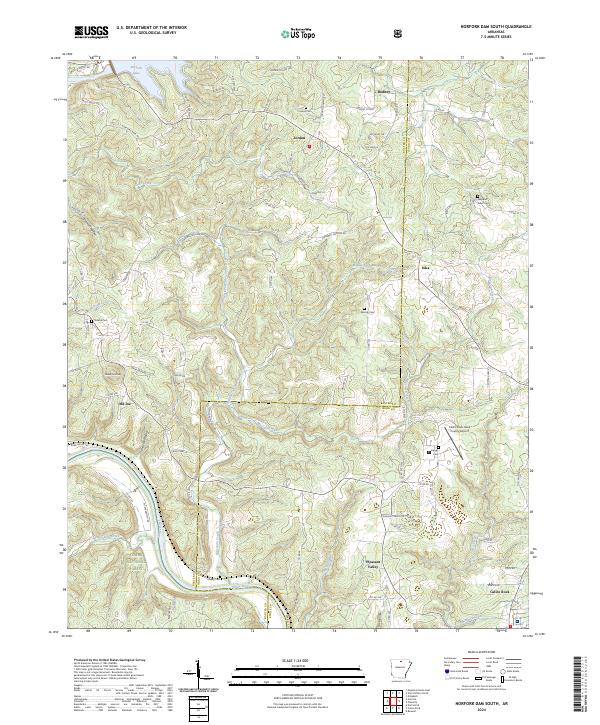
2024 Norfork Dam South
Baxter County, AR
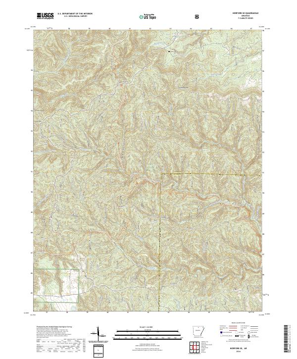
2024 Norfork SE
Baxter County, AR