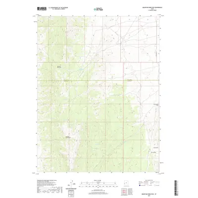
2020 Map of Mountain Home Pass
USGS Topo · Published 2020About this map
Mountain Home Pass serves as a critical geographic marker within the Mountain Home Range along the border of Millard and Beaver Counties. This 2020 survey highlights a desert landscape defined by its essential water sources, including Mountain Home Spring, Sand Spring, and Cobb Spring. The presence of these named springs suggests the historical importance of water management in this arid Utah corridor. To the southeast, the topography becomes more pronounced near The Needles and McCune Pass, where drainage patterns like Cottonwood Wash carve through the terrain. The map also records several other minor water points such as Tub Spring, Cherry Spring, Victor Spring, and Forked Spring, illustrating the sparse but vital network of resources that dictated movement and land use across this high-elevation region.
Find a feature on this map
15 named features on this map. Tap any name to fly to it.
Don’t see what you’re looking for? This feature index may not catch every label — zoom into the map to look around manually.
Map Details
Editions of this 2020 Mountain Home Pass Map
This is the sole edition of this map. No revisions or reprints were ever made.
Other maps of this area

1953 · Richfield
USGS Topo · 1:250,000

1956 · Lund
USGS Topo · 1:250,000

1958 · Richfield
USGS Topo · 1:250,000

1960 · Lund
USGS Topo · 1:250,000

1971 · Mountain Home Pass
USGS Topo · 1:24,000

1971 · Halfway Summit
USGS Topo · 1:24,000

1971 · Tunnel Spring
USGS Topo · 1:24,000

1971 · Sawtooth Peak
USGS Topo · 1:24,000

1971 · Mormon Gap
USGS Topo · 1:24,000

1972 · Hamlin Well
USGS Topo · 1:24,000