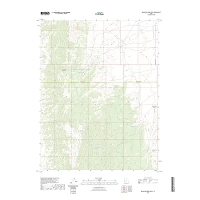
2023 Map of Mountain Home Pass
USGS Topo · Published 2023About this map
Mountain Home Pass serves as a critical geographic notch through the Mountain Home Range, marking the high-desert transition between Millard and Beaver counties. This 2023 survey documents a landscape defined by its scarce but vital water sources, with names like Mountain Home Spring, Victor Spring, and Cobb Spring indicating where life and travel centered in this arid region. The eastern boundary of the range drops toward the Antelope Valley, where the lone modern road, S 30500 West St, skirts the foothills. To the south, McCune Pass and the drainage of Cottonwood Wash provide natural corridors through the varied elevations of southwestern Utah, reflecting a land where topography dictated the routes of early explorers and contemporary surveyors alike.
Find a feature on this map
15 named features on this map. Tap any name to fly to it.
Don’t see what you’re looking for? This feature index may not catch every label — zoom into the map to look around manually.
Map Details
Editions of this 2023 Mountain Home Pass Map
This is the sole edition of this map. No revisions or reprints were ever made.
Other maps of this area

1953 · Richfield
USGS Topo · 1:250,000

1956 · Lund
USGS Topo · 1:250,000

1958 · Richfield
USGS Topo · 1:250,000

1960 · Lund
USGS Topo · 1:250,000

1971 · Mountain Home Pass
USGS Topo · 1:24,000

1971 · Halfway Summit
USGS Topo · 1:24,000

1971 · Tunnel Spring
USGS Topo · 1:24,000

1971 · Sawtooth Peak
USGS Topo · 1:24,000

1971 · Mormon Gap
USGS Topo · 1:24,000

1972 · Hamlin Well
USGS Topo · 1:24,000