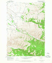
1964 Map of Mountain House
USGS Topo · Published 1968About this map
Agricultural water management and the transition from valley floor to forest highlands characterize this Ravalli County survey. The Bitterroot Irrigation District Canal and Highline Ditch Aqueduct demonstrate the complex engineering required to move water across the landscape, feeding into local works like Ward Ditch. These systems parallel the flow of Skalkaho Creek and Gird Creek as they exit the steep terrain of the Bitterroot National Forest.
Find a feature on this map
35 named features on this map. Tap any name to fly to it.
Don’t see what you’re looking for? This feature index may not catch every label — zoom into the map to look around manually.
Map Details
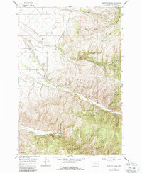
Editions of this 1964 Mountain House Map
2 editions found
Other maps of this area

1901 · Hamilton
USGS Topo · 1:125,000

1909 · Sapphire
USGS Topo · 1:125,000

1947 · Butte
USGS Topo · 1:250,000

1956 · Hamilton
USGS Topo · 1:250,000

1958 · Butte
USGS Topo · 1:250,000

1959 · Hamilton
USGS Topo · 1:250,000

1960 · Butte
USGS Topo · 1:250,000

1960 · Hamilton
USGS Topo · 1:250,000

1962 · Butte
USGS Topo · 1:250,000

1964 · Hamilton
USGS Topo · 1:250,000