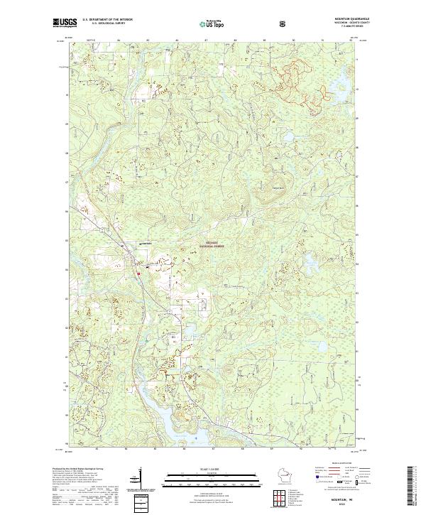
2022 Map of Mountain
USGS Topo · Published 2022About this map
The town of Mountain serves as a central hub within the sprawling Nicolet National Forest, where the settlement pattern follows the course of the North Branch Oconto River. This modern survey reveals a landscape heavily utilized for recreation and conservation, defined by an extensive network of trails such as the Nicolet State Trl and the specialized McComb Ski Trl. For those researching local heritage, the Mountain Cem is a primary landmark situated just east of the main settlement.
Find a feature on this map
34 named features on this map. Tap any name to fly to it.
Don’t see what you’re looking for? This feature index may not catch every label — zoom into the map to look around manually.
Map Details
Editions of this 2022 Mountain Map
This is the sole edition of this map. No revisions or reprints were ever made.
Other maps of this area

1940 · Thunder Mtn.
USGS Topo · 1:48,000

1942 · Breed
USGS Topo · 1:48,000

1942 · Wabeno
USGS Topo · 1:48,000

1950 · Wabeno
USGS Topo · 1:48,000

1951 · Wabeno
USGS Topo · 1:48,000

1951 · Thunder Mountain
USGS Topo · 1:48,000

1952 · Langlade
USGS Topo · 1:48,000

1952 · Mountain
USGS Topo · 1:48,000

1954 · Iron Mountain
USGS Topo · 1:250,000

1959 · Iron Mountain
USGS Topo · 1:250,000