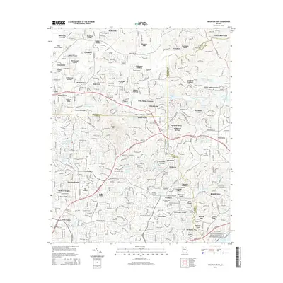
2014 Map of Mountain Park
USGS Topo · Published 2014About this map
Sweat Mtn stands as a prominent topographical landmark in this rapidly developing section of the Georgia Piedmont where Cherokee, Cobb, and Fulton Counties converge. By the early 21st century, the landscape shows a transition from rural crossroads like Arnold Mill and Little River Crossing to established suburban enclaves such as Litchfield Hundred and Ansley Forest. The map captures a sophisticated network of water management, evidenced by the numerous named catchments like Lake Gherful Dam, Cochrans Lake N, and Gilhams Lake. Genealogists and local historians will find significant value in the distribution of family-named sites and burial grounds, including the Wesley Chapel Cem, Garrett Cem, and Hardman Place. Along the southern boundary, the Chattahoochee River National Recreation Area preserves a corridor of riverfront land near the waters of Willeo Cr.
Find a feature on this map
116 named features on this map. Tap any name to fly to it.
Don’t see what you’re looking for? This feature index may not catch every label — zoom into the map to look around manually.
Map Details
Editions of this 2014 Mountain Park Map
This is the sole edition of this map. No revisions or reprints were ever made.
Other maps of this area

1888 · Atlanta
USGS Topo · 1:125,000

1890 · Suwanee
USGS Topo · 1:125,000

1890 · Cartersville
USGS Topo · 1:125,000

1890 · Atlanta
USGS Topo · 1:125,000

1891 · Marietta
USGS Topo · 1:125,000

1891 · Cartersville
USGS Topo · 1:125,000

1892 · Atlanta
USGS Topo · 1:125,000

1894 · Suwanee
USGS Topo · 1:125,000

1895 · Atlanta
USGS Topo · 1:125,000

1895 · Marietta
USGS Topo · 1:125,000