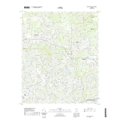
2020 Map of Mountain Park
USGS Topo · Published 2020About this map
Mountain Park and the surrounding North Georgia suburbs appear in this modern survey, characterized by a complex network of residential developments and numerous small lakes and reservoirs. Significant water bodies like Dominey Lake, Highland Lake, and Gilhams Lake are interspersed among the winding roads of Roswell, Milton, and Woodstock. The landscape is physically anchored by Sweat Mountain and the course of the Little River, while the southern edge is defined by the Chattahoochee River National Recreation Area.
Find a feature on this map
52 named features on this map. Tap any name to fly to it.
Don’t see what you’re looking for? This feature index may not catch every label — zoom into the map to look around manually.
Map Details
Editions of this 2020 Mountain Park Map
This is the sole edition of this map. No revisions or reprints were ever made.
Other maps of this area

1888 · Atlanta
USGS Topo · 1:125,000

1890 · Suwanee
USGS Topo · 1:125,000

1890 · Cartersville
USGS Topo · 1:125,000

1890 · Atlanta
USGS Topo · 1:125,000

1891 · Marietta
USGS Topo · 1:125,000

1891 · Cartersville
USGS Topo · 1:125,000

1892 · Atlanta
USGS Topo · 1:125,000

1894 · Suwanee
USGS Topo · 1:125,000

1895 · Atlanta
USGS Topo · 1:125,000

1895 · Marietta
USGS Topo · 1:125,000