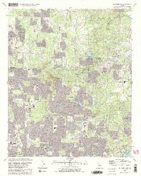
1992 Map of Mountain Park
USGS Topo · Published 1992About this map
Sweat Mountain and Chestnut Ridge dominate this suburbanizing landscape on the borders of Cobb, Cherokee, and Fulton Counties. In the early 1990s, the area reflects a transition from rural crossroads to residential expansion, evidenced by the high density of modern educational facilities like Lassiter High Sch and Pope High Sch appearing alongside older landmarks. Historical markers of the community remain, such as Arnold Mill to the north and numerous local congregations including Crossroad Church and Harmony Grove Ch.
Find a feature on this map
73 named features on this map. Tap any name to fly to it.
Don’t see what you’re looking for? This feature index may not catch every label — zoom into the map to look around manually.
Map Details
Editions of this 1992 Mountain Park Map
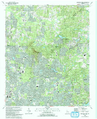
2 editions found
Other maps of this area

1888 · Atlanta
USGS Topo · 1:125,000

1890 · Suwanee
USGS Topo · 1:125,000

1890 · Cartersville
USGS Topo · 1:125,000

1890 · Atlanta
USGS Topo · 1:125,000

1891 · Marietta
USGS Topo · 1:125,000

1891 · Cartersville
USGS Topo · 1:125,000

1892 · Atlanta
USGS Topo · 1:125,000

1894 · Suwanee
USGS Topo · 1:125,000

1895 · Atlanta
USGS Topo · 1:125,000

1895 · Marietta
USGS Topo · 1:125,000