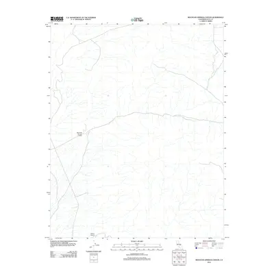
2012 Map of Mountain Springs Canyon
USGS Topo · Published 2012About this map
Mountain Springs Canyon dominates this arid Inyo County landscape, providing a primary drainage route through the high desert terrain. This 2012 USGS survey illustrates the natural contours and the sparse network of 4WD roads that navigate the complex topography. In the southern portion of the map, Wilson Canyon cuts through the elevation, defining the local hydrology alongside several unnamed seasonal washes. The map details the remote character of this region, focusing on the geological and topographic signatures before they descend into the lower basins. Modern geospatial data from the National Hydrography Dataset and the National Elevation Dataset provide high-fidelity relief, tracing the sharp ridges and deep incisions that characterize this part of the California desert.
Find a feature on this map
2 named features on this map. Tap any name to fly to it.
Don’t see what you’re looking for? This feature index may not catch every label — zoom into the map to look around manually.
Map Details
Editions of this 2012 Mountain Springs Canyon Map
This is the sole edition of this map. No revisions or reprints were ever made.
Other maps of this area

1908 · Ballarat
USGS Topo · 1:250,000

1913 · Ballarat
USGS Topo · 1:250,000

1915 · Searles Lake
USGS Topo · 1:250,000

1947 · Trona
USGS Topo · 1:250,000

1948 · Trona
USGS Topo · 1:250,000

1948 · Death Valley
USGS Topo · 1:250,000

1949 · Trona
USGS Topo · 1:62,500

1950 · Trona
USGS Topo · 1:62,500

1951 · Maturango Peak
USGS Topo · 1:62,500

1951 · Coso Peak
USGS Topo · 1:62,500