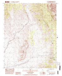
1984 Map of Mountain Springs
USGS Topo · Published 1984About this map
The Spring Mountains dominate this 1984 topographical landscape, where the high desert terrain transitions into the protected Red Rock Canyon Recreation Lands. The small community of Mountain Springs serves as the primary point of settlement, situated near the Mountain Springs Summit. The map documents a sparse but critical network of water sources essential for desert life, including South Spring, Mule Spring, and Bootleg Spring, which are scattered among the ridges and deep drainages of Lovell Canyon and Lovell Wash.
Find a feature on this map
26 named features on this map. Tap any name to fly to it.
Don’t see what you’re looking for? This feature index may not catch every label — zoom into the map to look around manually.
Map Details
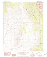
Editions of this 1984 Mountain Springs Map
2 editions found
Other maps of this area

1907 · Las Vegas
USGS Topo · 1:250,000

1908 · Las Vegas
USGS Topo · 1:250,000

1910 · Ivanpah
USGS Topo · 1:250,000

1912 · Ivanpah
USGS Topo · 1:250,000

1942 · Ivanpah
USGS Topo · 1:250,000

1947 · Kingman
USGS Topo · 1:250,000

1948 · Kingman
USGS Topo · 1:250,000

1952 · Blue Diamond
USGS Topo · 1:62,500

1954 · Las Vegas
USGS Topo · 1:250,000

1954 · Kingman
USGS Topo · 1:250,000