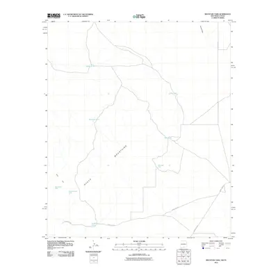
2010 Map of Mountain Tank
USGS Topo · Published 2010About this map
The Hueco Mountains define the arid landscape of this borderland region between New Mexico and Texas. This 2010 USGS survey details a sparse desert environment where water management is the primary marker of human activity and land use. The map reveals a network of vital catchment points, ranging from the central Mountain Tank and Fisher Tanks to more specialized sites like Big Cement Tank and Little Cement Tank near Red Hill.
Find a feature on this map
13 named features on this map. Tap any name to fly to it.
Don’t see what you’re looking for? This feature index may not catch every label — zoom into the map to look around manually.
Map Details
Editions of this 2010 Mountain Tank Map
This is the sole edition of this map. No revisions or reprints were ever made.
Other maps of this area

1896 · El Paso
USGS Topo · 1:125,000

1903 · Cerro Alto
USGS Topo · 1:125,000

1908 · El Paso
USGS Topo · 1:125,000

1939 · Heuco Tanks
USGS Topo · 1:62,500

1940 · Heuco Tanks
USGS Topo · 1:62,500

1940 · Bassett Lake
USGS Topo · 1:62,500

1941 · Heuco Mountains
USGS Topo · 1:62,500

1941 · Desert
USGS Topo · 1:62,500

1943 · Desert
USGS Topo · 1:62,500

1943 · Heuco Mountains
USGS Topo · 1:62,500