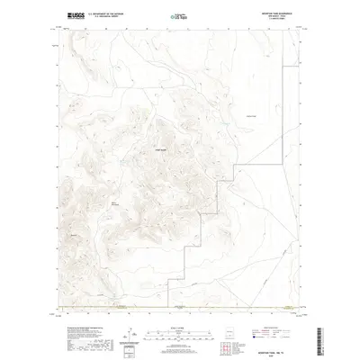
2020 Map of Mountain Tank
USGS Topo · Published 2020About this map
The Hueco Mountains dominate this high-desert landscape along the border of New Mexico and Texas. This area in Otero and Hudspeth Counties is defined by its arid topography, where water management is central to the history of the land. Essential livestock or travelers' resources like Grey Tank, Red House Tanks, and Wallbridge Tank are scattered across the terrain, illustrating the infrastructure required for life and ranching in this dry corridor. Lowland features such as Castner Draw slice through the desert floor, while the elevation rises sharply toward Red Hill. The presence of established routes like Co RD f001 and F-003 trace the limited path of transit across this borderland, connecting remote grazing lands and mountain passes during a period of modern surveying.
Find a feature on this map
15 named features on this map. Tap any name to fly to it.
Don’t see what you’re looking for? This feature index may not catch every label — zoom into the map to look around manually.
Map Details
Editions of this 2020 Mountain Tank Map
This is the sole edition of this map. No revisions or reprints were ever made.
Other maps of this area

1896 · El Paso
USGS Topo · 1:125,000

1903 · Cerro Alto
USGS Topo · 1:125,000

1908 · El Paso
USGS Topo · 1:125,000

1939 · Heuco Tanks
USGS Topo · 1:62,500

1940 · Heuco Tanks
USGS Topo · 1:62,500

1940 · Bassett Lake
USGS Topo · 1:62,500

1941 · Heuco Mountains
USGS Topo · 1:62,500

1941 · Desert
USGS Topo · 1:62,500

1943 · Desert
USGS Topo · 1:62,500

1943 · Heuco Mountains
USGS Topo · 1:62,500