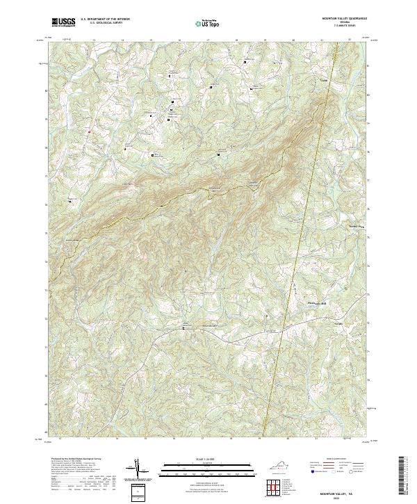
2022 Map of Mountain Valley
USGS Topo · Published 2022About this map
Turkeycock Mtn and Little Mtn dominate the central landscape of this southern Virginia territory, where the borders of Franklin, Henry, and Pittsylvania counties converge. The topography is defined by narrow ridges and gaps, most notably Double Oaks Gap, which separates the headwaters of numerous southward-flowing streams. The settlement pattern remains largely rural, concentrated around crossroads like Vashti, Turkey Fork, and Grady.
Find a feature on this map
100 named features on this map. Tap any name to fly to it.
Don’t see what you’re looking for? This feature index may not catch every label — zoom into the map to look around manually.
Map Details
Editions of this 2022 Mountain Valley Map
This is the sole edition of this map. No revisions or reprints were ever made.
Historical Maps of Turkey Fork Through Time
14 maps found

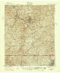
1924 Martinsville
Henry County, VA

1926 Martinsville
Henry County, VA
1927 Martinsville
Henry County, VA

1944 Martinsville
Henry County, VA
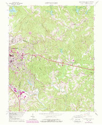
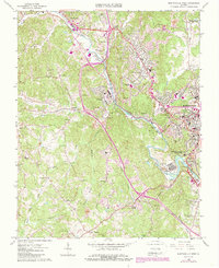
1964 Martinsville East
Henry County, VA
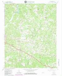
1965 Axton
Henry County, VA
1965 Martinsville West
Henry County, VA
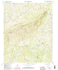
1965 Mountain Valley
Henry County, VA
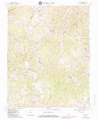
1967 Sanville
Henry County, VA
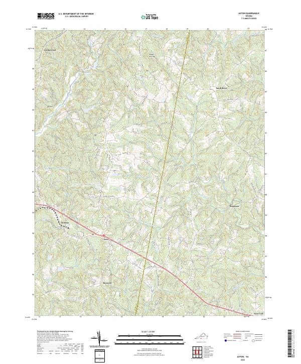
2022 Axton
Henry County, VA
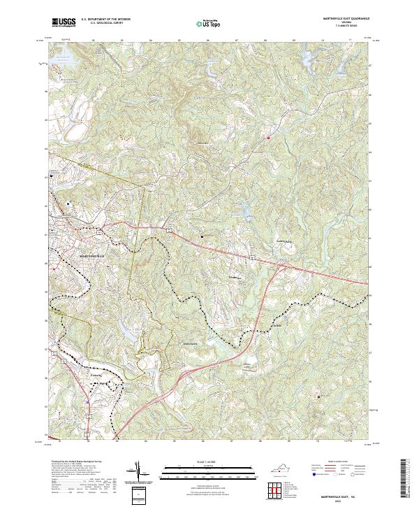
2022 Martinsville East
Henry County, VA
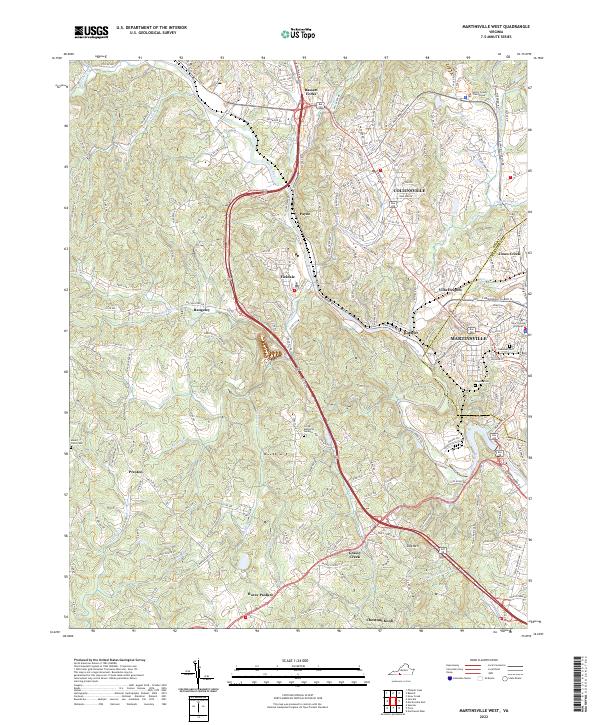
2022 Martinsville West
Henry County, VA
2022 Mountain Valley
Henry County, VA
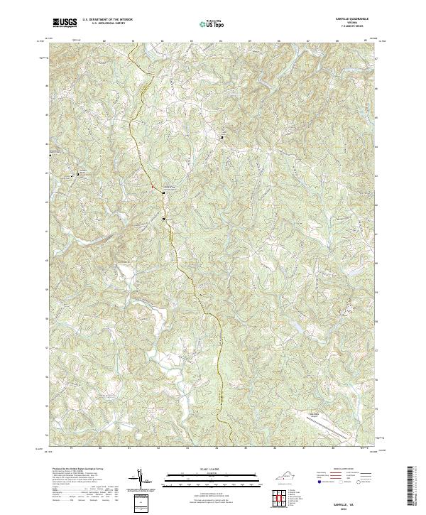
2022 Sanville
Henry County, VA