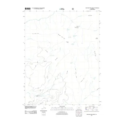
2011 Map of Mountain View Crest
USGS Topo · Published 2011About this map
Mountain View Crest rises as a prominent high-altitude divide in this 2011 survey, separating complex drainages that feed the Animas River and Florida River. The landscape is defined by massive alpine plateaus including Tank Mesa, Stag Mesa, and Lime Mesa, which are dissected by steep-walled features like Crazy Women Gulch and Virginia Gulch. Evidence of the region’s mineral history is preserved in several specific mining sites at the upper reaches of these watersheds, notably the Homestake Tunnel Mine, Mastodon Mine, and Brooklyn Mine located near Needle Creek. Human engineering in this high-country environment is further represented by the Henderson Lake Dam, which regulates Henderson Lake at the confluence of Pole Creek and Canyon Creek. A series of high-altitude basins, such as New York Basin, and small alpine bodies like Emerald Lake and Dollar Lake, illustrate the glaciated character of this part of the San Juan Mountains.
Find a feature on this map
43 named features on this map. Tap any name to fly to it.
Don’t see what you’re looking for? This feature index may not catch every label — zoom into the map to look around manually.
Map Details
Editions of this 2011 Mountain View Crest Map
This is the sole edition of this map. No revisions or reprints were ever made.
Other maps of this area

1898 · Durango
USGS Topo · 1:62,500

1898 · Engineer Mountain
USGS Topo · 1:62,500

1900 · Engineer Mountain
USGS Topo · 1:62,500

1900 · Needle Mountains
USGS Topo · 1:62,500

1902 · Needle Mountains
USGS Topo · 1:62,500

1907 · Durango
USGS Topo · 1:62,500

1908 · Engineer Mountain
USGS Topo · 1:62,500

1908 · Ignacio
USGS Topo · 1:125,000

1908 · Durango
USGS Topo · 1:62,500

1924 · Ignacio
USGS Topo · 1:125,000