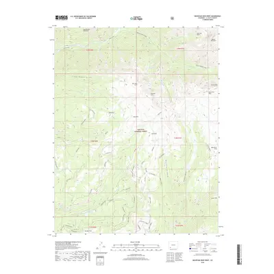
2019 Map of Mountain View Crest
USGS Topo · Published 2019About this map
The West Needle Mountains and the Needle Mountains dominate this high-altitude landscape in the heart of the San Juan National Forest. This 2019 survey captures a complex drainage system where the Animas River cuts through the northwest corner and the Florida River originates in the south. The area is defined by massive topographic features like the Mountain View Crest and Missionary Ridge, which separate deep drainages such as West Virginia Gulch and Crazy Women Gulch. High-country water resources are prominent throughout the quadrangle, including Henderson Lake, Dollar Lake, and several sites marked as City Reservoir. High mesas like Stag Mesa and Tank Mesa suggest the dramatic vertical relief of this portion of La Plata County, while localized names like Big Bear Park and Lower Park denote the rare level ground found amidst the peaks.
Find a feature on this map
90 named features on this map. Tap any name to fly to it.
Don’t see what you’re looking for? This feature index may not catch every label — zoom into the map to look around manually.
Map Details
Editions of this 2019 Mountain View Crest Map
This is the sole edition of this map. No revisions or reprints were ever made.
Other maps of this area

1898 · Durango
USGS Topo · 1:62,500

1898 · Engineer Mountain
USGS Topo · 1:62,500

1900 · Engineer Mountain
USGS Topo · 1:62,500

1900 · Needle Mountains
USGS Topo · 1:62,500

1902 · Needle Mountains
USGS Topo · 1:62,500

1907 · Durango
USGS Topo · 1:62,500

1908 · Engineer Mountain
USGS Topo · 1:62,500

1908 · Ignacio
USGS Topo · 1:125,000

1908 · Durango
USGS Topo · 1:62,500

1924 · Ignacio
USGS Topo · 1:125,000