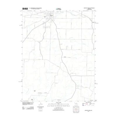
2012 Map of Mountain View
USGS Topo · Published 2012About this map
Mountain View serves as the primary hub for this portion of the Ozarks, shown here as it transitioned into the early 21st century. The town's infrastructure, including the Mountain View Airport and a network of county roads like Old Hwy 60, illustrates its role as a regional center. To the south and east, the landscape becomes increasingly defined by the complex hydrology of the Courtois Hills, where the Eleven Point River and its tributaries carve deep through the terrain.
Find a feature on this map
62 named features on this map. Tap any name to fly to it.
Don’t see what you’re looking for? This feature index may not catch every label — zoom into the map to look around manually.
Map Details
Editions of this 2012 Mountain View Map
This is the sole edition of this map. No revisions or reprints were ever made.
Other maps of this area

1945 · Willow Springs
USGS Topo · 1:62,500

1945 · Montier
USGS Topo · 1:62,500

1945 · Clear Springs
USGS Topo · 1:62,500

1946 · Summersville
USGS Topo · 1:62,500

1948 · Clear Springs
USGS Topo · 1:62,500

1948 · Montier
USGS Topo · 1:62,500

1948 · Willow Springs
USGS Topo · 1:62,500

1948 · Summersville
USGS Topo · 1:62,500

1949 · Rolla
USGS Topo · 1:250,000

1953 · Rolla
USGS Topo · 1:250,000