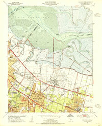
1953 Map of Mountain View
USGS Topo · Published 1955About this map
Moffett Field Naval Air Station dominates the coastal landscape of this mid-century survey, its expansive Naval Reservation bordering the intricate Salt Evaporators of the South Bay. This era captures the Peninsula in a moment of rapid suburban expansion, where the established grid of Mountain View and Sunnyvale begins to envelop earlier agricultural communities like Castro City. The industrial and maritime character of the shoreline is marked by features like Cooley Landing and the winding Alviso Slough, while the Southern Pacific railroad line provides the primary transit spine for the growing residential districts.
Find a feature on this map
67 named features on this map. Tap any name to fly to it.
Don’t see what you’re looking for? This feature index may not catch every label — zoom into the map to look around manually.
Map Details
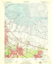
Editions of this 1953 Mountain View Map
2 editions found
Other maps of this area

1889 · San Jose
USGS Topo · 1:62,500

1897 · San Jose
USGS Topo · 1:62,500

1897 · Palo Alto
USGS Topo · 1:62,500

1899 · San Jose
USGS Topo · 1:62,500

1899 · Palo Alto
USGS Topo · 1:62,500

1899 · Haywards
USGS Topo · 1:62,500

1902 · Santa Cruz
USGS Topo · 1:125,000

1906 · Pleasanton
USGS Topo · 1:62,500

1915 · Haywards
USGS Topo · 1:62,500

1941 · Pleasanton
USGS Topo · 1:62,500