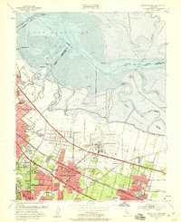
1953 Map of Mountain View
USGS Topo · Published 1959About this map
Naval Air Station Moffett Field dominates the central landscape of this 1950s survey, illustrating the significant military and aerospace footprint on the South Bay before the massive suburban shift of Silicon Valley. Large expanses of Salt Evaporators and winding sloughs like Alviso Slough and Mowry Slough define the northern shoreline of San Francisco Bay.
Find a feature on this map
61 named features on this map. Tap any name to fly to it.
Don’t see what you’re looking for? This feature index may not catch every label — zoom into the map to look around manually.
Map Details
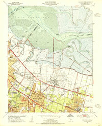
Editions of this 1953 Mountain View Map
2 editions found
Other maps of this area

1889 · San Jose
USGS Topo · 1:62,500

1897 · San Jose
USGS Topo · 1:62,500

1897 · Palo Alto
USGS Topo · 1:62,500

1899 · San Jose
USGS Topo · 1:62,500

1899 · Palo Alto
USGS Topo · 1:62,500

1899 · Haywards
USGS Topo · 1:62,500

1902 · Santa Cruz
USGS Topo · 1:125,000

1906 · Pleasanton
USGS Topo · 1:62,500

1915 · Haywards
USGS Topo · 1:62,500

1941 · Pleasanton
USGS Topo · 1:62,500