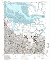
1991 Map of Mountain View
USGS Topo · Published 1995About this map
The salt industry and military aviation define the southern reaches of San Francisco Bay in this mid-1990s revision. Expansive Salt Evaporators dominate the shoreline, separated by a network of tidal channels including Mowry Slough, Coyote Creek, and Guadalupe Slough. Inland, the footprint of Naval Air Station Moffett Field stands as a primary landmark adjacent to the residential and industrial growth of Mountain View, Sunnyvale, and Los Altos.
Find a feature on this map
93 named features on this map. Tap any name to fly to it.
Don’t see what you’re looking for? This feature index may not catch every label — zoom into the map to look around manually.
Map Details
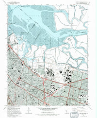
Editions of this 1991 Mountain View Map
2 editions found
Other maps of this area

1889 · San Jose
USGS Topo · 1:62,500

1897 · San Jose
USGS Topo · 1:62,500

1897 · Palo Alto
USGS Topo · 1:62,500

1899 · San Jose
USGS Topo · 1:62,500

1899 · Palo Alto
USGS Topo · 1:62,500

1899 · Haywards
USGS Topo · 1:62,500

1902 · Santa Cruz
USGS Topo · 1:125,000

1906 · Pleasanton
USGS Topo · 1:62,500

1915 · Haywards
USGS Topo · 1:62,500

1941 · Pleasanton
USGS Topo · 1:62,500