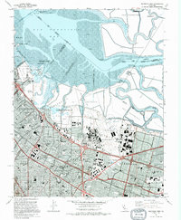
1991 Map of Mountain View
USGS Topo · Published 1996About this map
Naval Air Station Moffett Field dominates the central landscape of this South Bay survey, showcasing the massive hangars and airfield infrastructure that defined the region's mid-century military footprint. To the north, the intricate network of Salt Evaporators and winding sloughs like Mowry Slough and Alviso Slough meet the waters of San Francisco Bay. This industrial and natural interface contrasts sharply with the burgeoning suburban density of Mountain View, Palo Alto, and Sunnyvale. The transport corridors are well-defined, from the Southern Pacific railroad lines to the Bayshore Freeway, illustrating the post-war transition from agricultural orchards to the tech-driven Silicon Valley hub. Educational institutions like Ohlone Sch and Leland Stanford Middle Sch are scattered throughout the residential blocks, providing a clear view of the community's mid-90s layout.
Find a feature on this map
68 named features on this map. Tap any name to fly to it.
Don’t see what you’re looking for? This feature index may not catch every label — zoom into the map to look around manually.
Map Details
Editions of this 1991 Mountain View Map
2 editions found
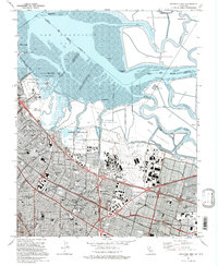
Other maps of this area

1889 · San Jose
USGS Topo · 1:62,500

1897 · San Jose
USGS Topo · 1:62,500

1897 · Palo Alto
USGS Topo · 1:62,500

1899 · San Jose
USGS Topo · 1:62,500

1899 · Palo Alto
USGS Topo · 1:62,500

1899 · Haywards
USGS Topo · 1:62,500

1902 · Santa Cruz
USGS Topo · 1:125,000

1906 · Pleasanton
USGS Topo · 1:62,500

1915 · Haywards
USGS Topo · 1:62,500

1941 · Pleasanton
USGS Topo · 1:62,500