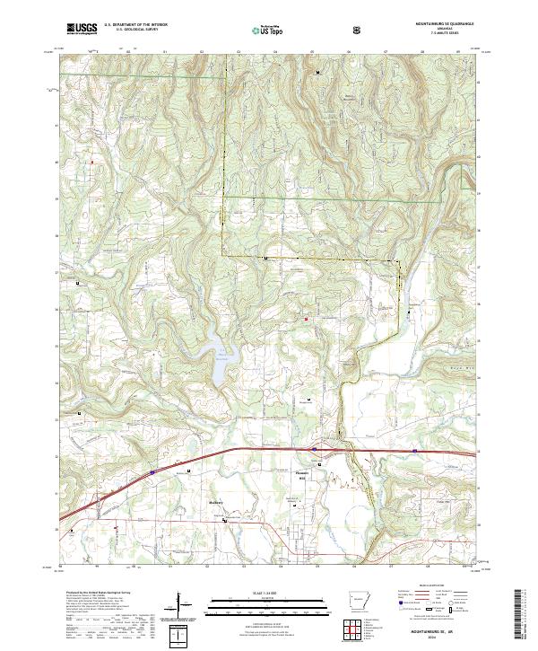
2024 Map of Mountainburg SE
USGS Topo · Published 2024About this map
Mulberry and the nearby community of Pleasant Hill anchor the southern portion of this landscape where the terrain transitions toward the Ozark National Forest. The geography is defined by the winding course of the Mulberry River and its designated Mulberry Wild and Scenic River corridor, which carves through the hills alongside elevations like Boney Mountain and Fisher Mtn. A significant concentration of family and community burial grounds, including the New Cem of Mulberry, King Cem, and Alexander Cem, provides a detailed record of the area's ancestral footprint.
Find a feature on this map
92 named features on this map. Tap any name to fly to it.
Don’t see what you’re looking for? This feature index may not catch every label — zoom into the map to look around manually.
Map Details
Editions of this 2024 Mountainburg SE Map
This is the sole edition of this map. No revisions or reprints were ever made.
Other maps of this area

1879 · Cravens
USGS Topo · 1:62,500

1887 · Magazine Mountain #2
USGS Topo · 1:62,500

1887 · Watalula
USGS Topo · 1:62,500

1887 · Magazine Mountain
USGS Topo · 1:62,500

1890 · Magazine Mountain
USGS Topo · 1:125,000

1890 · Fort Smith
USGS Topo · 1:125,000

1898 · Winslow #4
USGS Topo · 1:62,500

1898 · Winslow
USGS Topo · 1:125,000

1901 · Winslow
USGS Topo · 1:125,000

1906 · Lavaca
USGS Topo · 1:62,500