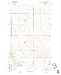
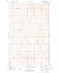
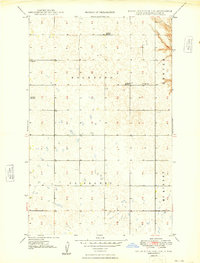
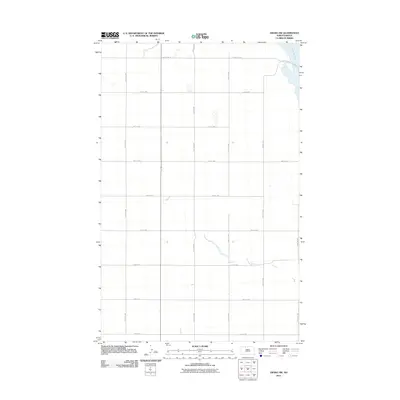
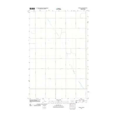
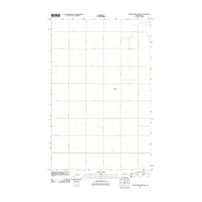
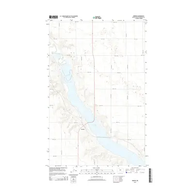
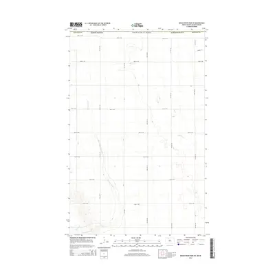
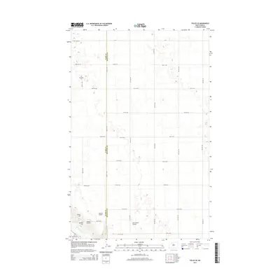
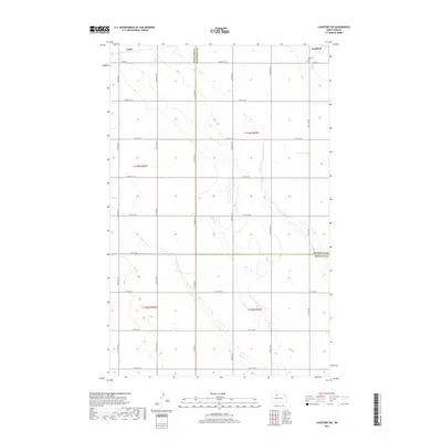
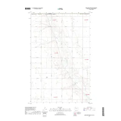
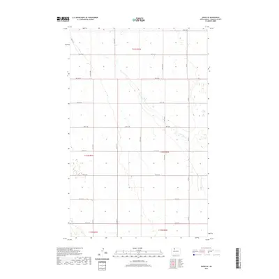
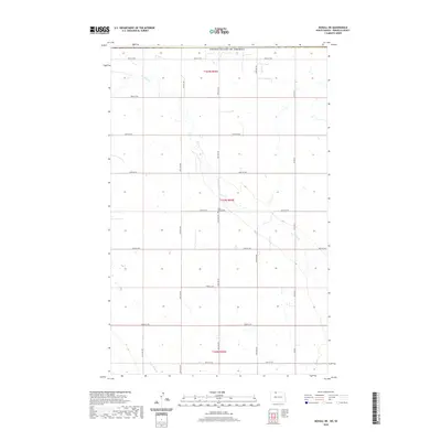
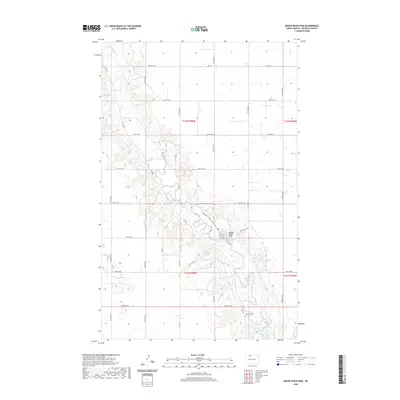
1949 Map of Mouse River Park NE
USGS Topo · Published 1949About this map
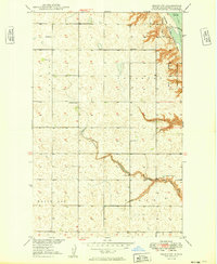
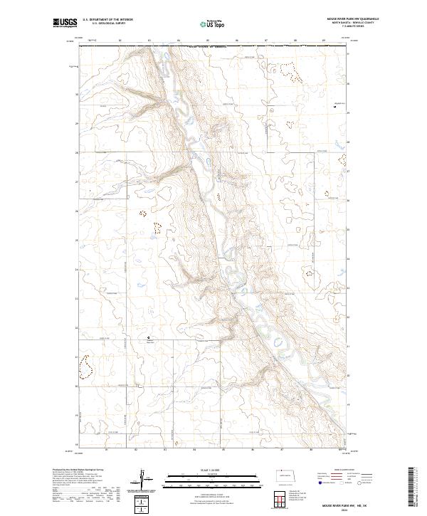
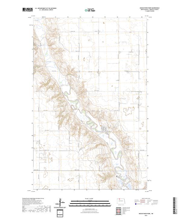
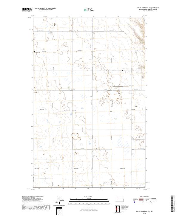
The international border between the United States and Canada defines the northern edge of this North Dakota landscape, where the prairie is organized by the rigid township and range system. In the late 1940s, this area of Renville County was a network of rural school districts and townships, including Prosperity, Colquhoun, and Grover. The map highlights the essential role of local institutions in this agricultural community, documenting the precise locations of Prosperity Ch and several district schools like Prosperity Sch No 1 and Grover Sch No 2. Natural drainage is carved into the plains by the Souris River in the southwest and the meandering paths of Seven Mile Coulee and Little Deep Creek, which break the geometric regularity of the surveyed section lines.
Find a feature on this map
13 named features on this map. Tap any name to fly to it.
Don’t see what you’re looking for? This feature index may not catch every label — zoom into the map to look around manually.
Map Details
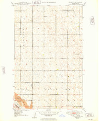
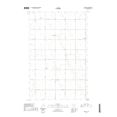
Editions of this 1949 Mouse River Park NE Map
2 editions found
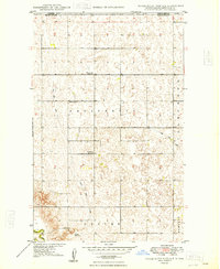
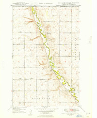
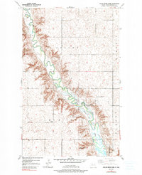
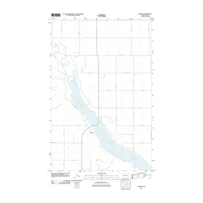
Historical Maps of Renville County Through Time
69 maps found
1948 Lansford SW
Renville County, ND
1948 Mouse River Park NW
Renville County, ND
1949 Grano NE
Renville County, ND
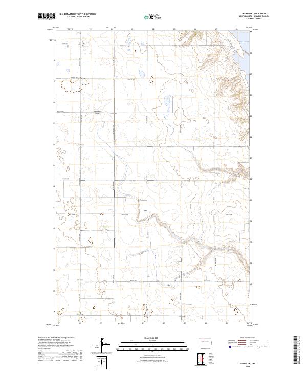
1949 Grano SW
Renville County, ND
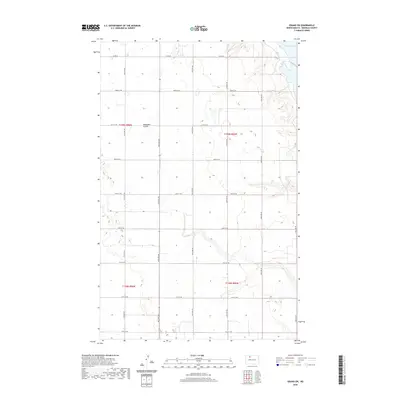
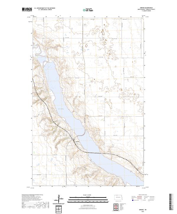
1949 Greene
Renville County, ND
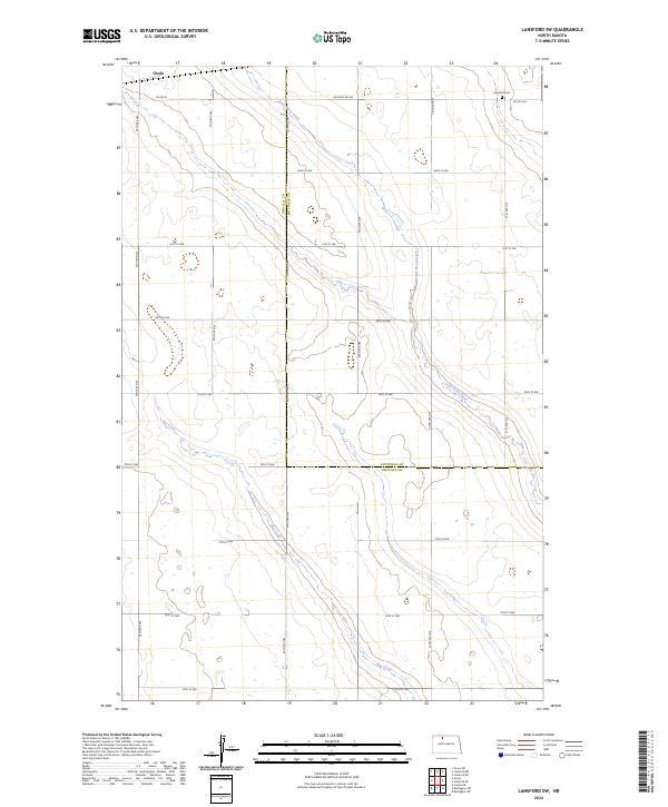
1949 Lansford SW
Renville County, ND
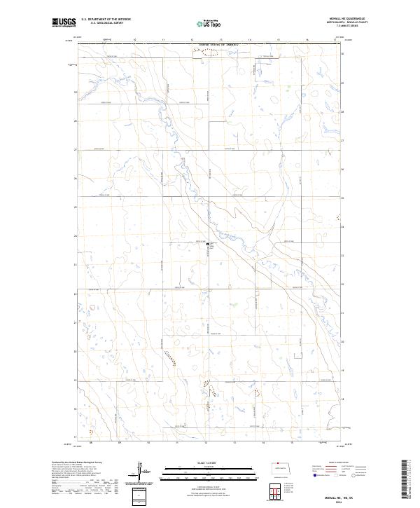
1949 Mohall NE
Renville County, ND
1949 Mohall SW
Renville County, ND
1949 Mouse River Park NE
Renville County, ND
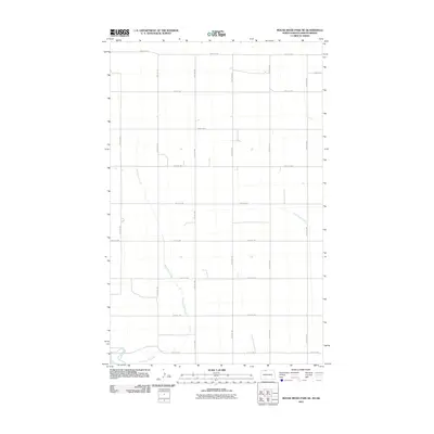
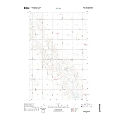
1949 Mouse River Park NW
Renville County, ND
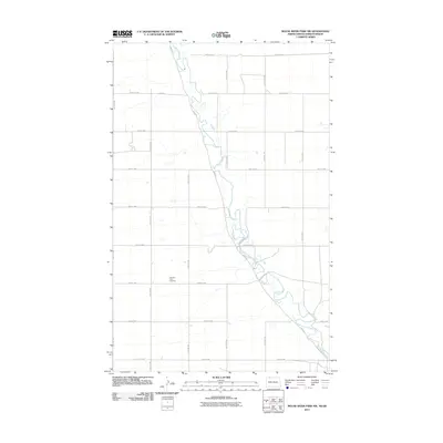
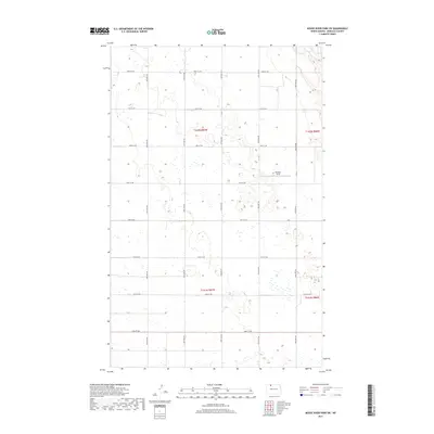
1949 Mouse River Park
Renville County, ND
1949 Mouse River Park SW
Renville County, ND
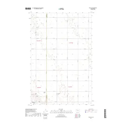
1949 Tolley SE
Renville County, ND
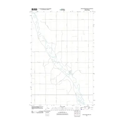
1950 Mouse River Park
Renville County, ND
2011 Grano NE
Renville County, ND
2011 Grano SW
Renville County, ND
2011 Greene
Renville County, ND
2011 Lansford SW
Renville County, ND
2011 Mohall NE
Renville County, ND
2011 Mohall SW
Renville County, ND
2011 Mouse River Park NE
Renville County, ND
2011 Mouse River Park NW
Renville County, ND
2011 Mouse River Park
Renville County, ND
2011 Mouse River Park SW
Renville County, ND
2011 Tolley SE
Renville County, ND
2014 Grano NE
Renville County, ND
2014 Grano SW
Renville County, ND
2014 Greene
Renville County, ND
2014 Lansford SW
Renville County, ND
2014 Mohall NE
Renville County, ND
2014 Mohall SW
Renville County, ND
2014 Mouse River Park NE
Renville County, ND
2014 Mouse River Park NW
Renville County, ND
2014 Mouse River Park
Renville County, ND
2014 Mouse River Park SW
Renville County, ND
2014 Tolley SE
Renville County, ND
2017 Grano NE
Renville County, ND
2017 Grano SW
Renville County, ND
2017 Greene
Renville County, ND
2017 Lansford SW
Renville County, ND
2017 Mohall NE
Renville County, ND
2017 Mohall SW
Renville County, ND
2017 Mouse River Park NE
Renville County, ND
2017 Mouse River Park NW
Renville County, ND
2017 Mouse River Park
Renville County, ND
2017 Mouse River Park SW
Renville County, ND
2017 Tolley SE
Renville County, ND
2020 Grano NE
Renville County, ND
2020 Grano SW
Renville County, ND
2020 Greene
Renville County, ND
2020 Lansford SW
Renville County, ND
2020 Mohall NE
Renville County, ND
2020 Mohall SW
Renville County, ND
2020 Mouse River Park NE
Renville County, ND
2020 Mouse River Park NW
Renville County, ND
2020 Mouse River Park
Renville County, ND
2020 Mouse River Park SW
Renville County, ND
2020 Tolley SE
Renville County, ND
2024 Grano NE
Renville County, ND
2024 Grano SW
Renville County, ND
2024 Greene
Renville County, ND
2024 Lansford SW
Renville County, ND
2024 Mohall NE
Renville County, ND
2024 Mohall SW
Renville County, ND
2024 Mouse River Park NE
Renville County, ND
2024 Mouse River Park NW
Renville County, ND
2024 Mouse River Park
Renville County, ND
2024 Mouse River Park SW
Renville County, ND
2024 Tolley SE
Renville County, ND