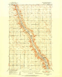
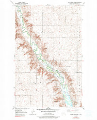
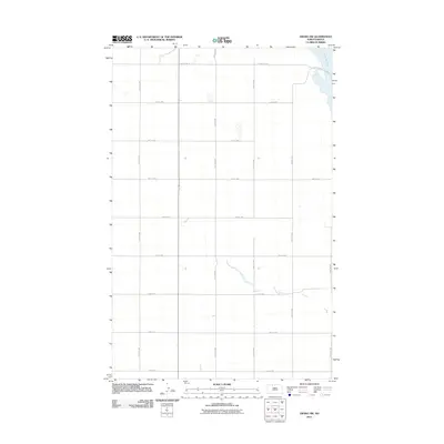
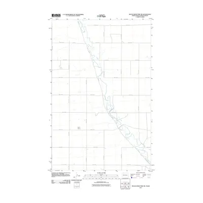
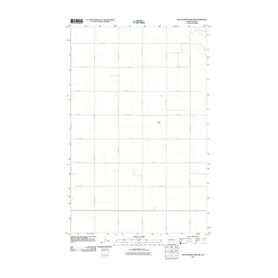
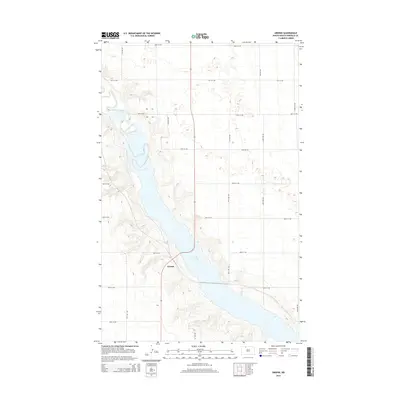
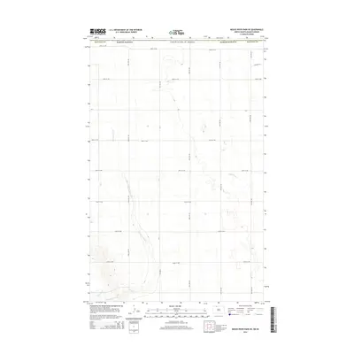
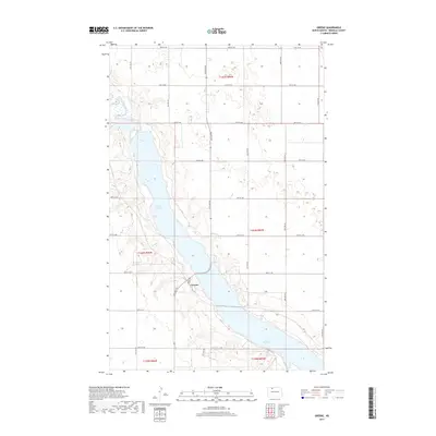
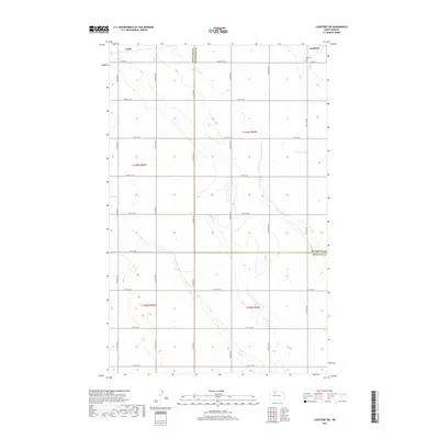
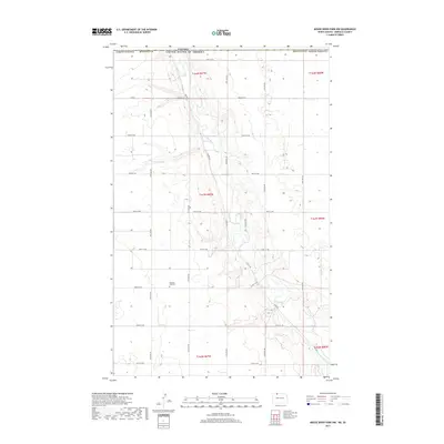
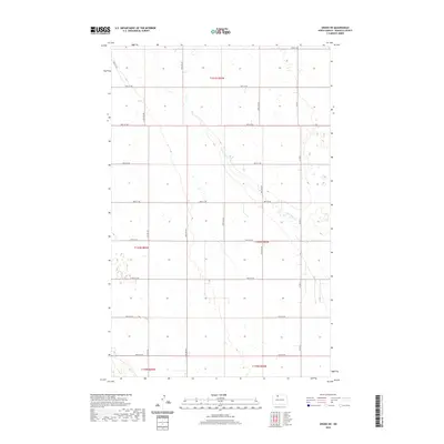
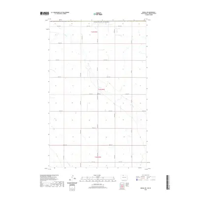
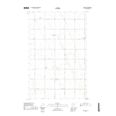
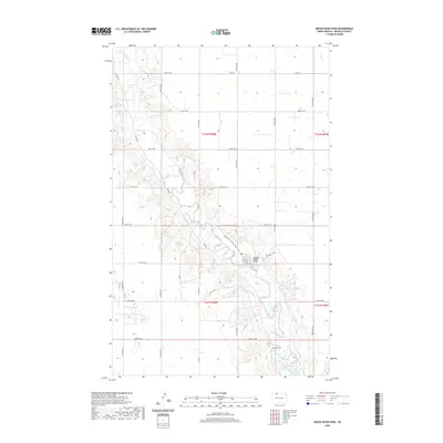
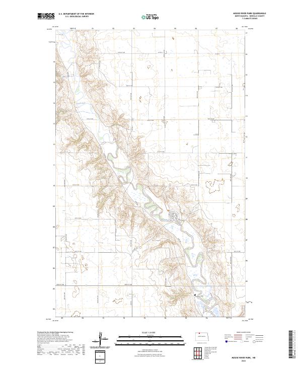
1950 Map of Mouse River Park
USGS Topo · Published 1950About this map
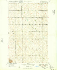
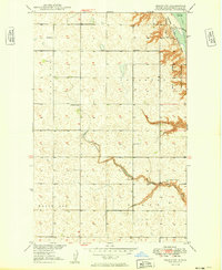
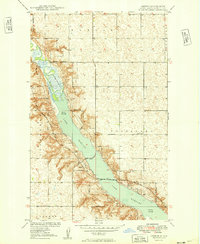
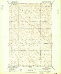
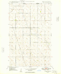
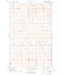
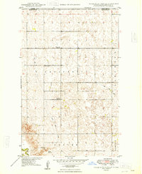
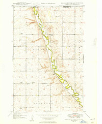
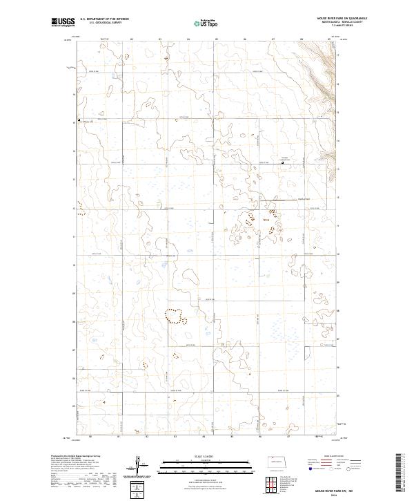
The Souris River meanders sharply through the heart of Renville County, carving a distinct valley through the prairie townships of Stafford, Prosperity, and Rockford. This 1950 edition illustrates a rural landscape defined by a regular grid of section lines, each punctuated by the institutions of early mid-century community life. Numerous numbered schoolhouses and country churches, such as Edson Ch and Evanger Ch, are scattered across the plains, serving as anchors for the surrounding farmsteads. To the south, the Upper Souris National Wildlife Refuge Boundary marks a transition into protected bottomlands near the Mouse River Park. This area, including the site of the McKinney Cem, shows the intersection of the natural waterway and the recreational and conservation efforts of the post-war era. The map also captures the international boundary where Saskatchewan meets North Dakota.
Find a feature on this map
29 named features on this map. Tap any name to fly to it.
Don’t see what you’re looking for? This feature index may not catch every label — zoom into the map to look around manually.
Map Details
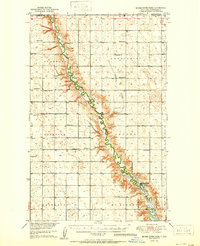
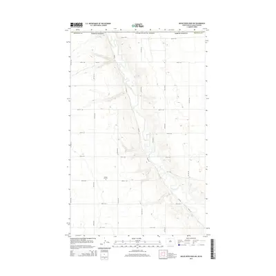
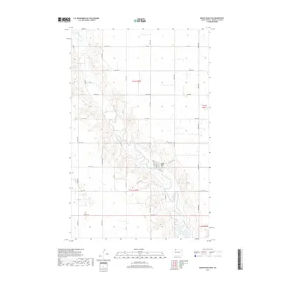
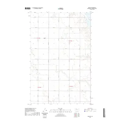
Editions of this 1950 Mouse River Park Map
2 editions found
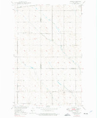
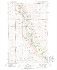
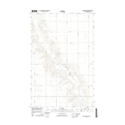
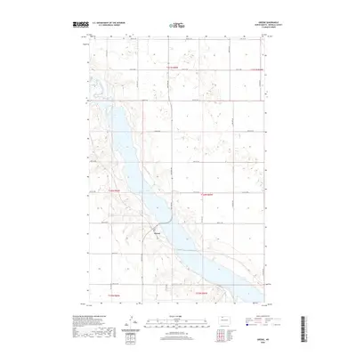
Historical Maps of Renville County Through Time
69 maps found
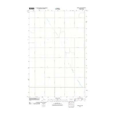
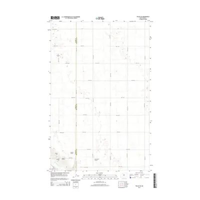
1948 Lansford SW
Renville County, ND
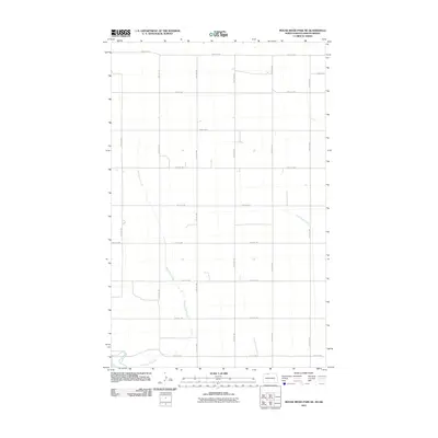
1948 Mouse River Park NW
Renville County, ND
1949 Grano NE
Renville County, ND
1949 Grano SW
Renville County, ND
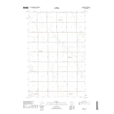
1949 Greene
Renville County, ND
1949 Lansford SW
Renville County, ND
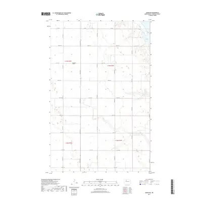
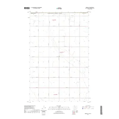
1949 Mohall NE
Renville County, ND
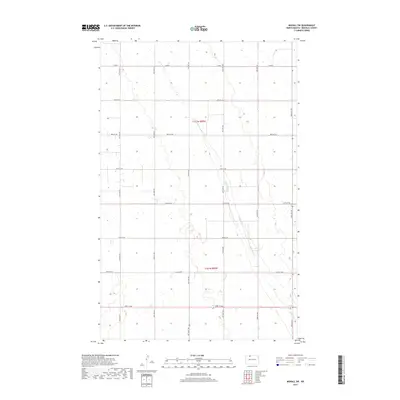
1949 Mohall SW
Renville County, ND
1949 Mouse River Park NE
Renville County, ND
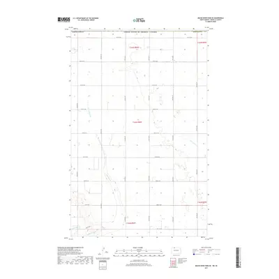
1949 Mouse River Park NW
Renville County, ND
1949 Mouse River Park
Renville County, ND
1949 Mouse River Park SW
Renville County, ND
1949 Tolley SE
Renville County, ND
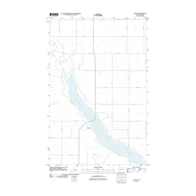
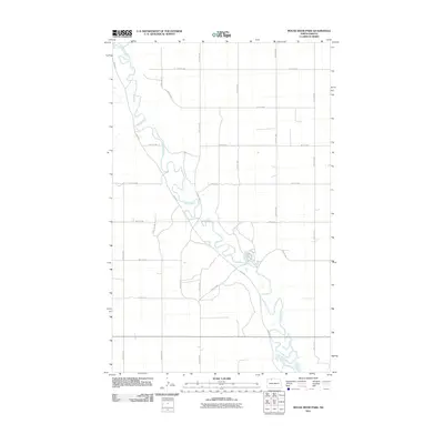
1950 Mouse River Park
Renville County, ND
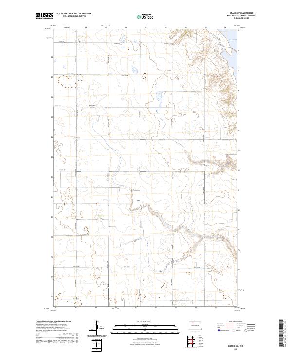
2011 Grano NE
Renville County, ND
2011 Grano SW
Renville County, ND
2011 Greene
Renville County, ND
2011 Lansford SW
Renville County, ND
2011 Mohall NE
Renville County, ND
2011 Mohall SW
Renville County, ND
2011 Mouse River Park NE
Renville County, ND
2011 Mouse River Park NW
Renville County, ND
2011 Mouse River Park
Renville County, ND
2011 Mouse River Park SW
Renville County, ND
2011 Tolley SE
Renville County, ND
2014 Grano NE
Renville County, ND
2014 Grano SW
Renville County, ND
2014 Greene
Renville County, ND
2014 Lansford SW
Renville County, ND
2014 Mohall NE
Renville County, ND
2014 Mohall SW
Renville County, ND
2014 Mouse River Park NE
Renville County, ND
2014 Mouse River Park NW
Renville County, ND
2014 Mouse River Park
Renville County, ND
2014 Mouse River Park SW
Renville County, ND
2014 Tolley SE
Renville County, ND
2017 Grano NE
Renville County, ND
2017 Grano SW
Renville County, ND
2017 Greene
Renville County, ND
2017 Lansford SW
Renville County, ND
2017 Mohall NE
Renville County, ND
2017 Mohall SW
Renville County, ND
2017 Mouse River Park NE
Renville County, ND
2017 Mouse River Park NW
Renville County, ND
2017 Mouse River Park
Renville County, ND
2017 Mouse River Park SW
Renville County, ND
2017 Tolley SE
Renville County, ND
2020 Grano NE
Renville County, ND
2020 Grano SW
Renville County, ND
2020 Greene
Renville County, ND
2020 Lansford SW
Renville County, ND
2020 Mohall NE
Renville County, ND
2020 Mohall SW
Renville County, ND
2020 Mouse River Park NE
Renville County, ND
2020 Mouse River Park NW
Renville County, ND
2020 Mouse River Park
Renville County, ND
2020 Mouse River Park SW
Renville County, ND
2020 Tolley SE
Renville County, ND
2024 Grano NE
Renville County, ND
2024 Grano SW
Renville County, ND
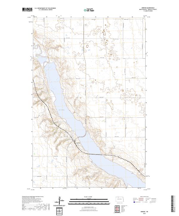
2024 Greene
Renville County, ND
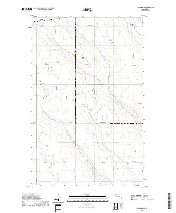
2024 Lansford SW
Renville County, ND
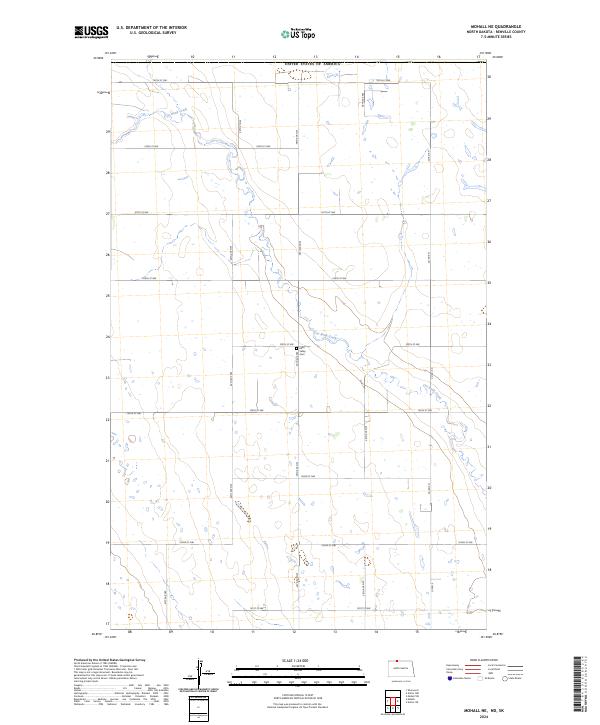
2024 Mohall NE
Renville County, ND
2024 Mohall SW
Renville County, ND
2024 Mouse River Park NE
Renville County, ND
2024 Mouse River Park NW
Renville County, ND
2024 Mouse River Park
Renville County, ND
2024 Mouse River Park SW
Renville County, ND
2024 Tolley SE
Renville County, ND