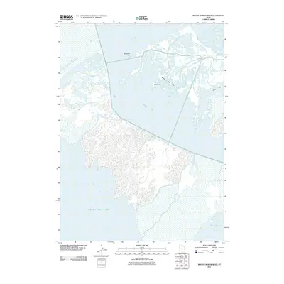
2011 Map of Mouth of Bear River
USGS Topo · Published 2011About this map
Bear River meets the northeastern reaches of the Great Salt Lake in this detailed hydrologic study of the Box Elder County wetlands. The landscape is defined by the complex branching of the river as it filters through Blodgetts Overflow and Rees Overflow before emptying into the wide expanses of North Bay and South Bay. This environment is a critical interface between freshwater systems and the hypersaline lake, featuring distinctive landforms such as Mushback Point and the narrow Pintail Neck.
Find a feature on this map
16 named features on this map. Tap any name to fly to it.
Don’t see what you’re looking for? This feature index may not catch every label — zoom into the map to look around manually.
Map Details
Editions of this 2011 Mouth of Bear River Map
This is the sole edition of this map. No revisions or reprints were ever made.
Other maps of this area

1954 · Whistler Canal
USGS Topo · 1:24,000

1954 · Public Shooting Grounds
USGS Topo · 1:24,000

1954 · Brigham City
USGS Topo · 1:250,000

1955 · Willard Spur
USGS Topo · 1:24,000

1955 · Mouth of Bear River
USGS Topo · 1:24,000

1955 · Plain City SW
USGS Topo · 1:24,000

1955 · Bear River City
USGS Topo · 1:24,000

1958 · Brigham City
USGS Topo · 1:250,000

1961 · Thatcher Mountain
USGS Topo · 1:62,500

1962 · Brigham City
USGS Topo · 1:250,000