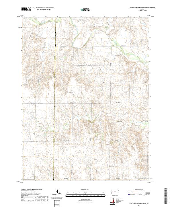
2022 Map of Mouth of Wild Horse Creek
USGS Topo · Published 2022About this map
The Saline River carves a winding path across the northern reaches of this landscape, fed by tributaries like Wild Horse Cr and Tomcat Cr. This area on the boundary between Trego and Ellis Counties reflects a traditional Kansas sectional grid system, where long-established country routes such as Saline River Rd and Severin Rd provide access to the undulating drainage basins of the High Plains. Evidence of rural community life and land use is preserved in names like St John - St Andrew Rd and Homestead Rd, marking the transit between farmsteads and creek valleys like E Spring Cr. The map's layout of numbered sections and surveyed lines demonstrates how the late-period agricultural economy remains anchored to the natural watercourses that defined early settlement.
Find a feature on this map
32 named features on this map. Tap any name to fly to it.
Don’t see what you’re looking for? This feature index may not catch every label — zoom into the map to look around manually.
Map Details
Editions of this 2022 Mouth of Wild Horse Creek Map
This is the sole edition of this map. No revisions or reprints were ever made.
Other maps of this area

1893 · Ellis
USGS Topo · 1:125,000

1893 · Hill
USGS Topo · 1:125,000

1896 · Hays
USGS Topo · 1:125,000

1896 · Plainville
USGS Topo · 1:125,000

1955 · Great Bend
USGS Topo · 1:250,000

1955 · Beloit
USGS Topo · 1:250,000

1957 · Great Bend
USGS Topo · 1:250,000

1958 · Great Bend
USGS Topo · 1:250,000

1959 · Beloit
USGS Topo · 1:250,000

1961 · Yocemento
USGS Topo · 1:24,000