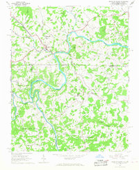
1966 Map of Mouth of Wilson
USGS Topo · Published 1968About this map
The New River winds through a complex borderland where Virginia and North Carolina meet, carving a deep path between Grassy Knob and Fox Knob. This mid-1960s survey captures the rural character of Ashe and Alleghany Counties, North Carolina, and Grayson County, Virginia, during a time when small communities were anchored by a dense network of country churches and schools. The settlement at Mouth of Wilson serves as a focal point near the confluence of Wilson Creek, while the confluence of the North Fork and South Fork further south defines the local drainage patterns.
Find a feature on this map
41 named features on this map. Tap any name to fly to it.
Don’t see what you’re looking for? This feature index may not catch every label — zoom into the map to look around manually.
Map Details
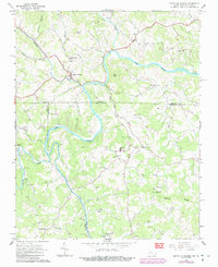
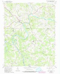
Editions of this 1966 Mouth of Wilson Map
3 editions found
Other maps of this area

1889 · Wytheville
USGS Topo · 1:125,000

1889 · Wilkesboro
USGS Topo · 1:125,000

1891 · Wilkesboro
USGS Topo · 1:125,000

1892 · Wytheville
USGS Topo · 1:125,000

1930 · Independence
USGS Topo · 1:48,000

1933 · Independence
USGS Topo · 1:62,500

1935 · Mouth of Wilson
USGS Topo · 1:48,000
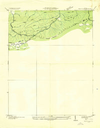
1935 · Trout Dale
USGS Topo · 1:24,000

1935 · Middle Fox Creek
USGS Topo · 1:24,000

1940 · Mouth of Wilson
USGS Topo · 1:62,500