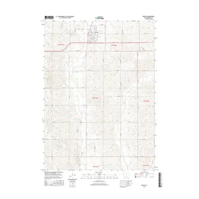
2015 Map of Moville
USGS Topo · Published 2015About this map
Moville sits at the heart of this mid-20th-century landscape, organized by the precise section lines of the Public Land Survey System. The town center is detailed with streets such as Main St, Jones St, and Jackson St, alongside the local Post Office and the northern Arlington Cem. This Woodbury County terrain is defined by the drainage patterns of the W Fork Little Sioux River, which flows southward through the western half of the quadrangle. To the east, the headwaters of Wolf Cr and its tributary E Br Wolf Cr carve through the higher ground. The map illustrates a transition toward modern infrastructure with Highway 20 passing just south of the main settlement, while rural life remains anchored by established county routes like Co Hwy D30 and Co Hwy K64.
Find a feature on this map
45 named features on this map. Tap any name to fly to it.
Don’t see what you’re looking for? This feature index may not catch every label — zoom into the map to look around manually.
Map Details
Editions of this 2015 Moville Map
This is the sole edition of this map. No revisions or reprints were ever made.
Other maps of this area

1954 · Fort Dodge
USGS Topo · 1:250,000

1955 · Sioux City
USGS Topo · 1:250,000

1957 · Fort Dodge
USGS Topo · 1:250,000

1958 · Sioux City
USGS Topo · 1:250,000

1958 · Fort Dodge
USGS Topo · 1:250,000

1959 · Sioux City
USGS Topo · 1:250,000

1962 · Union Center
USGS Topo · 1:62,500

1964 · Lawton
USGS Topo · 1:24,000

1964 · Climbing Hill
USGS Topo · 1:24,000

1964 · Luton
USGS Topo · 1:24,000