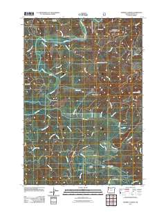
2011 Map of Mowrey Landing
USGS Topo · Published 2011About this map
The Siletz River carves a winding path through this corner of Lincoln County, defining the local geography and transportation patterns. A series of riverfront access points, including Mowrey Landing, Melco Landing, Mack Landing, and Morgan Landing, highlight the importance of the waterway for both navigation and recreation. These landings serve as historical touchpoints for a landscape shaped by the river's deep bends and the surrounding timberland.
Find a feature on this map
45 named features on this map. Tap any name to fly to it.
Don’t see what you’re looking for? This feature index may not catch every label — zoom into the map to look around manually.
Map Details
Editions of this 2011 Mowrey Landing Map
This is the sole edition of this map. No revisions or reprints were ever made.
Other maps of this area

1941 · Cape Foulweather
USGS Topo · 1:62,500

1942 · Euchre Mtn
USGS Topo · 1:62,500

1942 · Yaquina
USGS Topo · 1:62,500

1942 · Toledo
USGS Topo · 1:62,500

1943 · Euchre Mtn
USGS Topo · 1:62,500

1944 · Cape Foulweather
USGS Topo · 1:62,500

1953 · Salem
USGS Topo · 1:250,000

1954 · Salem
USGS Topo · 1:250,000

1957 · Cape Foulweather
USGS Topo · 1:62,500

1957 · Yaquina
USGS Topo · 1:62,500