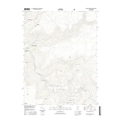
2014 Map of Mozark Mountain
USGS Topo · Published 2014About this map
Hendricks sits at the western edge of this topographic study, where the Blackwater River and Dry Fork converge within the Monongahela National Forest. The landscape is dominated by the steep ridges of Backbone Mountain and Mozark Mtn, with many small settlements and named springs clustered along the lower river valleys. Toward the south, the village of Gladwin and the nearby Teter Cem provide significant points of interest for local history researchers and genealogists tracking families in the Glady Fork area. The presence of Olson Lookout Tower on Backbone Mountain highlights the strategic importance of high-elevation observation in this densely forested region. Further up the winding courses of the Dry Fork, smaller locales like Elk and Mackeyville mark the sparse but distinct footprint of human activity among the numerous runs and creeks that carve through the highlands.
Find a feature on this map
43 named features on this map. Tap any name to fly to it.
Don’t see what you’re looking for? This feature index may not catch every label — zoom into the map to look around manually.
Map Details
Editions of this 2014 Mozark Mountain Map
This is the sole edition of this map. No revisions or reprints were ever made.
Other maps of this area

1886 · St. George
USGS Topo · 1:125,000

1889 · Beverly
USGS Topo · 1:125,000

1891 · St. George
USGS Topo · 1:125,000

1892 · Beverly
USGS Topo · 1:125,000

1892 · Franklin
USGS Topo · 1:125,000

1895 · Piedmont
USGS Topo · 1:125,000

1896 · Franklin
USGS Topo · 1:125,000

1908 · Parsons
USGS Topo · 1:62,500

1916 · Davis
USGS Topo · 1:48,000

1918 · Davis
USGS Topo · 1:62,500