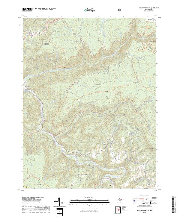
2023 Map of Mozark Mountain
USGS Topo · Published 2023About this map
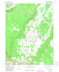
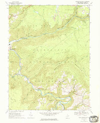
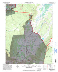
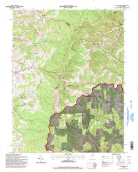
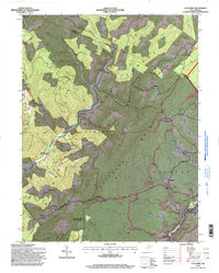
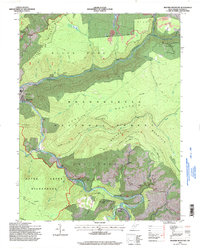
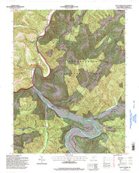
Backbone Mountain and Canaan Mtn dominate this portion of the West Virginia highlands, where the Blackwater River and Dry Fork carve deep paths through the terrain. The map documents a landscape defined by its network of historic transport and resource extraction, including the Railroad Grade Trl and family-named water sources like Kent Lambert Spring. Small communities such as Hendricks and Thomas sit at the periphery of the protected Monongahela National Forest, while the interior remains accessible only by an extensive trail system. These paths, such as the Allegheny Tr: Marlin Mtn Trl and Shay Trace Trl, follow the ridgelines and creek beds. For genealogists, the Teter Cem near Gladwin provides a specific point of reference in this otherwise densely forested wilderness, illustrating the scattered nature of early settlement in the Potomac Highlands.
Find a feature on this map
56 named features on this map. Tap any name to fly to it.
Don’t see what you’re looking for? This feature index may not catch every label — zoom into the map to look around manually.
Map Details
Editions of this 2023 Mozark Mountain Map
This is the sole edition of this map. No revisions or reprints were ever made.
Historical Maps of Thomas Through Time
15 maps found
1959 Colebank
Tucker County, WV
1959 Lead Mine
Tucker County, WV
1959 Saint George
Tucker County, WV
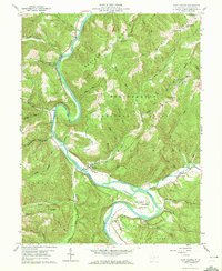
1968 Blackwater Falls
Tucker County, WV
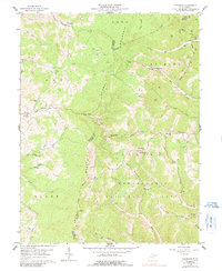
1968 Mozark Mountain
Tucker County, WV
1995 Blackwater Falls
Tucker County, WV
1995 Colebank
Tucker County, WV
1995 Lead Mine
Tucker County, WV
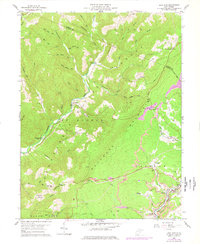
1995 Mozark Mountain
Tucker County, WV
1995 Saint George
Tucker County, WV
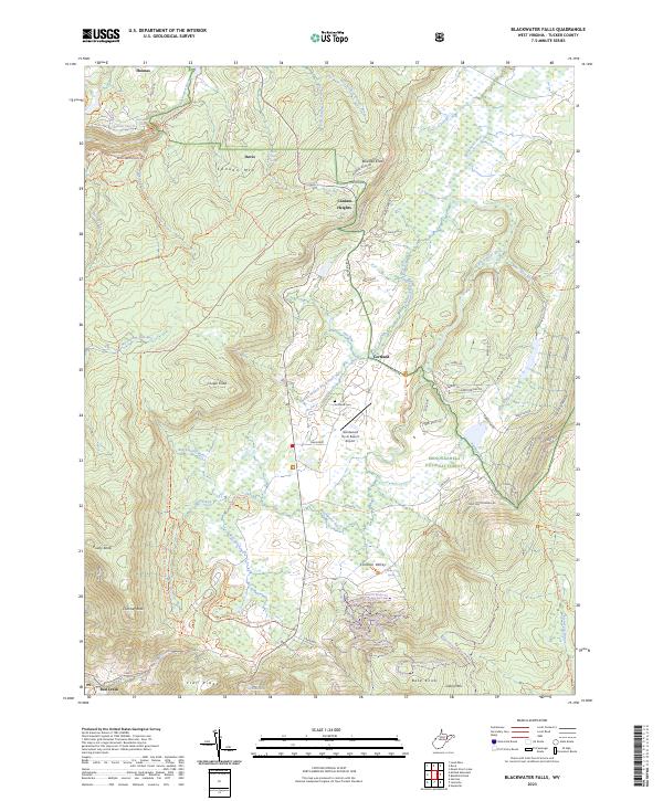
2023 Blackwater Falls
Tucker County, WV
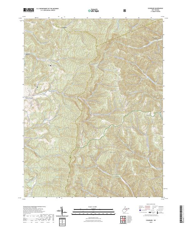
2023 Colebank
Tucker County, WV
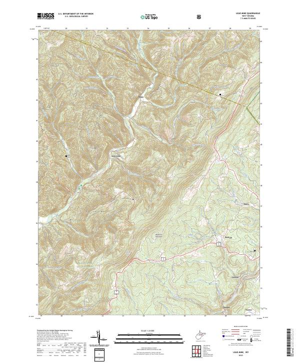
2023 Lead Mine
Tucker County, WV
2023 Mozark Mountain
Tucker County, WV
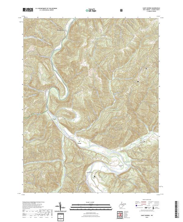
2023 Saint George
Tucker County, WV