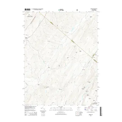
2014 Map of Mozer
USGS Topo · Published 2014About this map
Mozer and the surrounding highlands of Pendleton County are defined by the sharp ridges and deep valleys of the Allegheny Mountains, where the North and South Mill Creeks carve through the terrain. This 2014 survey captures the rural character of the region, anchored by small settlements like Kline and Brushy Run. The landscape is a complex network of named hollows and knobs, including Wolfpen Hollow and High Knob, illustrating the difficult topography that has historically shaped local travel and land use.
Find a feature on this map
57 named features on this map. Tap any name to fly to it.
Don’t see what you’re looking for? This feature index may not catch every label — zoom into the map to look around manually.
Map Details
Editions of this 2014 Mozer Map
This is the sole edition of this map. No revisions or reprints were ever made.
Other maps of this area

1892 · Franklin
USGS Topo · 1:125,000

1896 · Franklin
USGS Topo · 1:125,000

1920 · Petersburg
USGS Topo · 1:48,000

1920 · Onego
USGS Topo · 1:62,500

1921 · Petersburg
USGS Topo · 1:48,000

1921 · Onego
USGS Topo · 1:48,000

1922 · Onego
USGS Topo · 1:62,500

1922 · Fort Seybert
USGS Topo · 1:48,000

1922 · Petersburg
USGS Topo · 1:62,500

1922 · Circleville
USGS Topo · 1:62,500