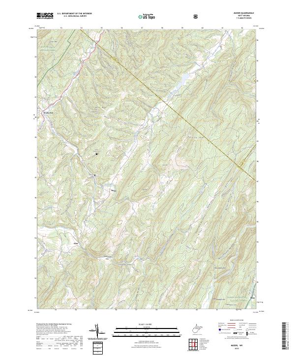
2023 Map of Mozer
USGS Topo · Published 2023About this map
Brushy Run and Mozer sit within a landscape of significant relief in Pendleton County, where the highlands of the Monongahela National Forest meet the George Washington National Forest. This 2023 survey documents a remote mountain economy defined by narrow valleys and high ridges like S Fork Mountain Ridge and Mitchell Mountain. The map provides specific points of interest for genealogists, including the Hulvey Family Cem and Harman Cem Number 39, which are situated near the headwaters of North Mill Creek. The transportation network is anchored by US Rte 220 and various county routes that navigate the steep gaps, such as Greenawalt Gap. Settlement patterns follow the water, with Kline and Sweedlin Hill positioned along the drainage of the South Fork South Branch Potomac River, illustrating the enduring relationship between Appalachian topography and local habitation.
Find a feature on this map
68 named features on this map. Tap any name to fly to it.
Don’t see what you’re looking for? This feature index may not catch every label — zoom into the map to look around manually.
Map Details
Editions of this 2023 Mozer Map
This is the sole edition of this map. No revisions or reprints were ever made.
Other maps of this area

1892 · Franklin
USGS Topo · 1:125,000

1896 · Franklin
USGS Topo · 1:125,000

1920 · Petersburg
USGS Topo · 1:48,000

1920 · Onego
USGS Topo · 1:62,500

1921 · Petersburg
USGS Topo · 1:48,000

1921 · Onego
USGS Topo · 1:48,000

1922 · Onego
USGS Topo · 1:62,500

1922 · Fort Seybert
USGS Topo · 1:48,000

1922 · Petersburg
USGS Topo · 1:62,500

1922 · Circleville
USGS Topo · 1:62,500