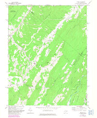
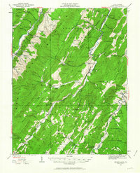
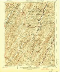
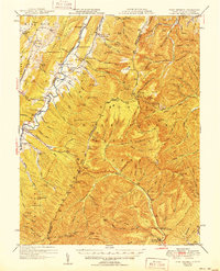
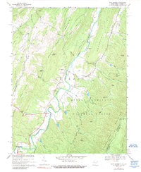
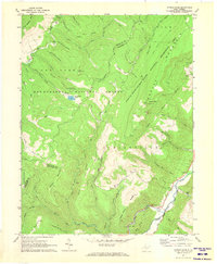
1969 Map of Mozer
USGS Topo · Published 1982About this map
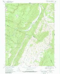
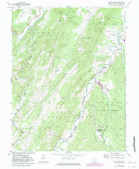
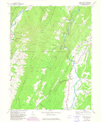
Middle Mountain and Milroy Mountain dominate this corner of West Virginia, where the landscape is defined by the steep ridges of the Alleghenies. Small mountain settlements like Mozer and Kline are connected by winding roads through Greenawalt Gap and along the valley floors of North Mill Creek and South Mill Creek. The area’s spiritual life is mapped through several local landmarks, including Mt Horeb Ch, Trinity Ch, and South Mill Creek Ch, each serving rural communities tucked between the heights of Spring Mountain Ridge and Locust Mtn.
Find a feature on this map
41 named features on this map. Tap any name to fly to it.
Don’t see what you’re looking for? This feature index may not catch every label — zoom into the map to look around manually.
Map Details
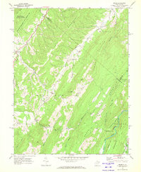
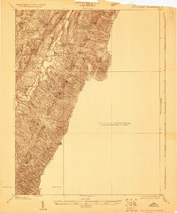
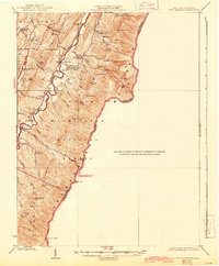
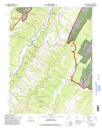
Editions of this 1969 Mozer Map
2 editions found
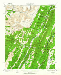
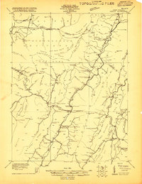
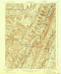
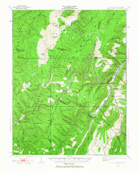
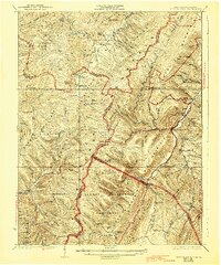
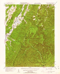
Historical Maps of Brushy Run Through Time
35 maps found
1920 Onego
Pendleton County, WV
1921 Onego
Pendleton County, WV
1922 Circleville
Pendleton County, WV
1922 Fort Seybert
Pendleton County, WV
1922 Onego
Pendleton County, WV
1922 Spruce Knob
Pendleton County, WV
1924 Circleville
Pendleton County, WV
1924 Fort Seybert
Pendleton County, WV
1924 Spruce Knob
Pendleton County, WV
1947 Fort Seybert
Pendleton County, WV
1951 Fort Seybert
Pendleton County, WV
1968 Circleville
Pendleton County, WV
1968 Moatstown
Pendleton County, WV
1968 Onego
Pendleton County, WV
1969 Fort Seybert
Pendleton County, WV
1969 Mozer
Pendleton County, WV
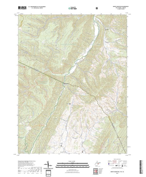
1969 Snowy Mountain
Pendleton County, WV
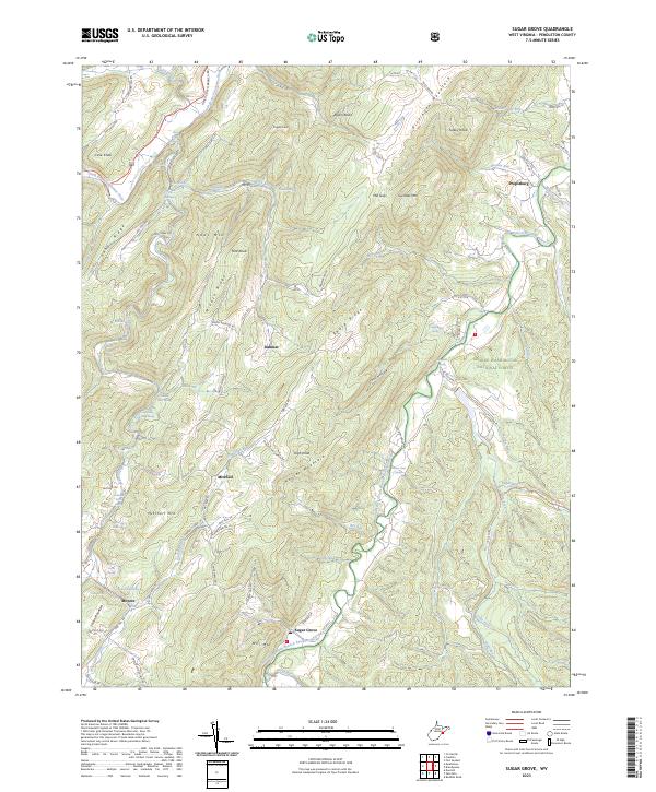
1969 Sugar Grove
Pendleton County, WV
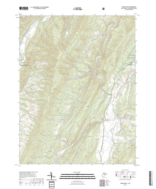
1969 Upper Tract
Pendleton County, WV
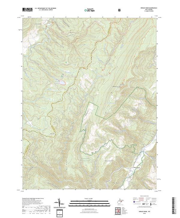
1970 Spruce Knob
Pendleton County, WV
1995 Circleville
Pendleton County, WV
1995 Mozer
Pendleton County, WV
1995 Onego
Pendleton County, WV
1995 Snowy Mountain
Pendleton County, WV
1995 Spruce Knob
Pendleton County, WV
1995 Upper Tract
Pendleton County, WV
2023 Circleville
Pendleton County, WV
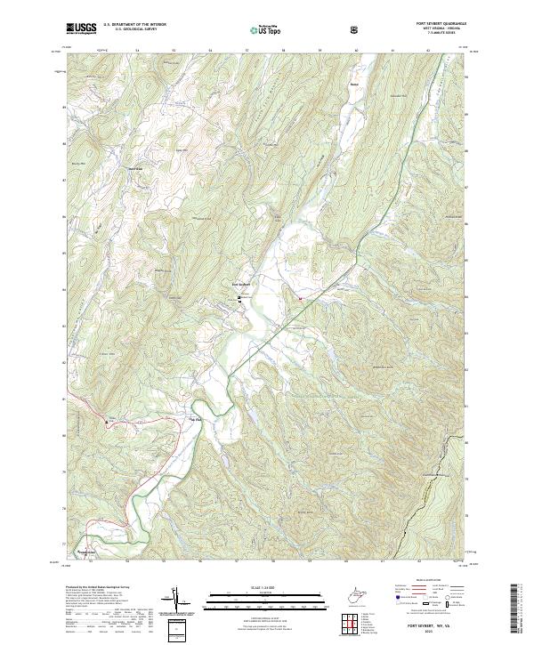
2023 Fort Seybert
Pendleton County, WV
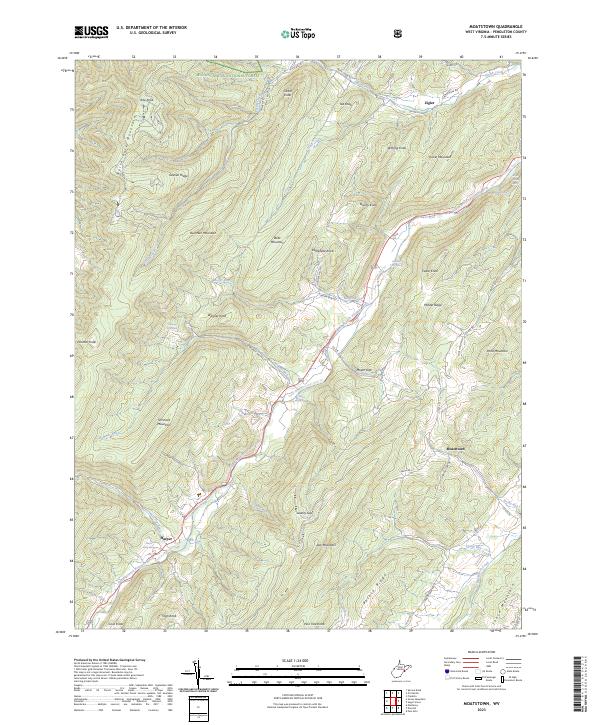
2023 Moatstown
Pendleton County, WV
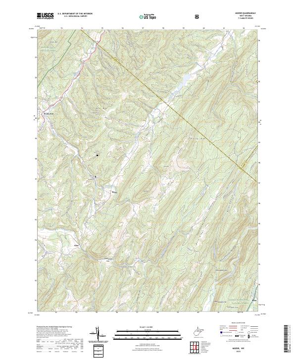
2023 Mozer
Pendleton County, WV
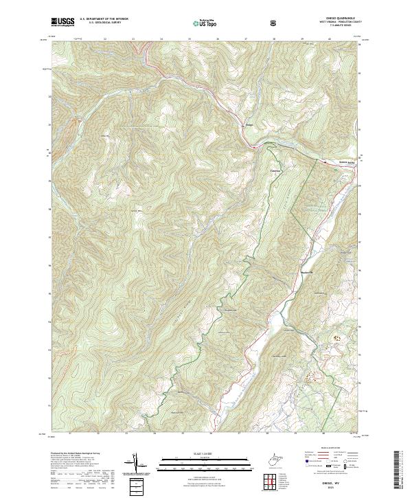
2023 Onego
Pendleton County, WV
2023 Snowy Mountain
Pendleton County, WV
2023 Spruce Knob
Pendleton County, WV
2023 Sugar Grove
Pendleton County, WV
2023 Upper Tract
Pendleton County, WV