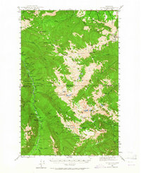
1944 Map of Mt. Angeles
USGS Topo · Published 1964About this map
Olympic National Park dominates this 1944 topographic survey, revealing the remote backcountry network of the Olympic Peninsula before modern road expansions. The map meticulously documents a high-altitude landscape defined by glacier-fed waters like the Lillian River and Elwha River. Historic backcountry infrastructure is prominent, including numerous established sites such as Tipperary Camp, Chateau Camp, and Roaring Winds Camp.
Find a feature on this map
83 named features on this map. Tap any name to fly to it.
Don’t see what you’re looking for? This feature index may not catch every label — zoom into the map to look around manually.
Map Details
Editions of this 1944 Mt. Angeles Map
3 editions found
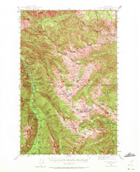
Other maps of this area

1918 · Port Angeles
USGS Topo · 1:62,500

1919 · Port Crescent
USGS Topo · 1:62,500

1935 · Mount Olympus
USGS Topo · 1:62,500

1938 · Mt Constance
USGS Topo · 1:125,000

1938 · Dungeness
USGS Topo · 1:62,500

1939 · Dungeness
USGS Topo · 1:62,500

1941 · Port Angeles
USGS Topo · 1:62,500

1942 · Mount Olympus
USGS Topo · 1:62,500

1944 · Mt. Angeles
USGS Topo · 1:62,500

1946 · Mt. Angeles
USGS Topo · 1:62,500