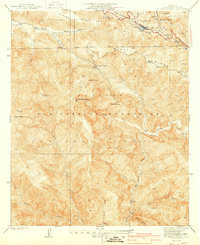
1940 Map of Mt. Baden-Powell
USGS Topo · Published 1940About this map
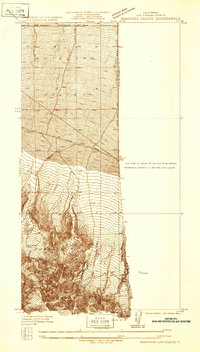
The San Andreas Rift Zone slices through the northern reaches of this high-elevation terrain, creating a distinct geological trough that shapes the local hydrology and landscape. This 1930s-era survey reveals an area of the San Gabriel Mountains defined by significant peaks and deep drainage systems like Vincent Gulch and Iron Fork. High above the canyons, Mt Baden-Powell and Throop Peak dominate the skyline, while human activity is centered on recreation and industry. The presence of the Big Horn Mine on the slopes of Baden-Powell indicates the mineral interests of the period, while established sites like the Boy Scout Camp, Girl Scout Camp, and Camp Manzanita highlight the region's importance as a mountain retreat for Los Angeles County residents.
Find a feature on this map
33 named features on this map. Tap any name to fly to it.
Don’t see what you’re looking for? This feature index may not catch every label — zoom into the map to look around manually.
Map Details
Editions of this 1940 Mt. Baden-Powell Map
4 editions found
Other maps of this area

1901 · Southern California Sheet No. 1
USGS Topo · 1:250,000

1903 · Rock Creek
USGS Topo · 1:62,500

1903 · San Antonio
USGS Topo · 1:62,500

1904 · Southern California Sheet No. 1
USGS Topo · 1:250,000

1934 · Mescal Creek
USGS Topo · 1:24,000
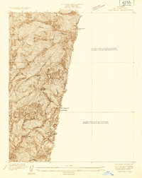
1934 · Camp Baldy
USGS Topo · 1:24,000
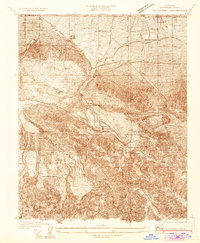
1934 · Valyermo
USGS Topo · 1:24,000
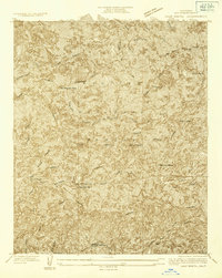
1934 · Camp Bonita
USGS Topo · 1:24,000
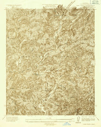
1934 · Camp Rincon
USGS Topo · 1:24,000
1934 · Boneyard Canyon
USGS Topo · 1:24,000