
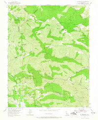
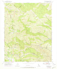
1955 Map of Mt. Boardman
USGS Topo · Published 1957About this map
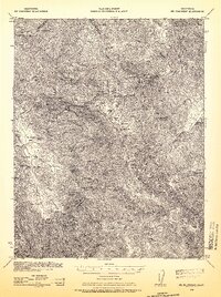
The Diablos Range high country converges at the intersection of Santa Clara, Stanislaus, Alameda, and San Joaquin counties, anchored by the prominence of Mt Boardman VABM 3626 and Red Mountain VABM 3654. In the mid-1950s, this landscape was defined by remote extraction and strategic government land use. The presence of Western Mines near Harney School and the Phoenix Mine along Puerto Del Puerto Canyon points to the region's mineral interests.
Find a feature on this map
40 named features on this map. Tap any name to fly to it.
Don’t see what you’re looking for? This feature index may not catch every label — zoom into the map to look around manually.
Map Details
Editions of this 1955 Mt. Boardman Map
3 editions found
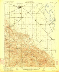
Other maps of this area

1897 · Mt. Hamilton
USGS Topo · 1:62,500

1907 · Tesla
USGS Topo · 1:62,500

1913 · Romain
USGS Topo · 1:31,680
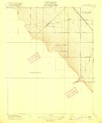
1916 · Romain
USGS Topo · 1:31,680
1922 · Carbona
USGS Topo · 1:62,500
1938 · Mt. Boardman
USGS Topo · 1:62,500

1942 · Mt. Hamilton
USGS Topo · 1:62,500

1942 · Carbona
USGS Topo · 1:62,500

1942 · Mt. Boardman
USGS Topo · 1:62,500

1942 · Altamont
USGS Topo · 1:62,500