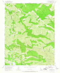
1955 Map of Mt. Boardman
USGS Topo · Published 1965About this map
Red Mountain and the high ridges of the Diablo Range dominate this mid-century survey at the intersection of Alameda, Santa Clara, San Joaquin, and Stanislaus counties. The landscape is defined by resource extraction and remote infrastructure, notably the Western Mines near Harney School and the Phoenix Mine further east. These sites, coupled with numerous labeled prospects, indicate a period of active geological interest in the mountains.
Find a feature on this map
54 named features on this map. Tap any name to fly to it.
Don’t see what you’re looking for? This feature index may not catch every label — zoom into the map to look around manually.
Map Details
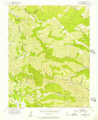
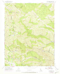
Editions of this 1955 Mt. Boardman Map
3 editions found
Other maps of this area

1897 · Mt. Hamilton
USGS Topo · 1:62,500

1907 · Tesla
USGS Topo · 1:62,500

1913 · Romain
USGS Topo · 1:31,680

1916 · Romain
USGS Topo · 1:31,680

1922 · Carbona
USGS Topo · 1:62,500

1938 · Mt. Boardman
USGS Topo · 1:62,500

1942 · Mt. Hamilton
USGS Topo · 1:62,500
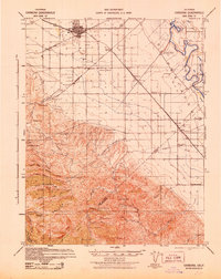
1942 · Carbona
USGS Topo · 1:62,500

1942 · Mt. Boardman
USGS Topo · 1:62,500

1942 · Altamont
USGS Topo · 1:62,500