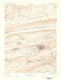
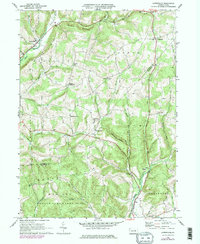
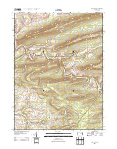
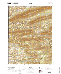
1947 Map of Mt. Carmel
USGS Topo · Published 1947About this map
Industrial coal-country settlements define the landscape of the Mount Carmel area during the mid-1940s. The dense grid of the borough sits at the center of a complex network of transportation, where the Reading and Lehigh railroads weave through the valley floor to service numerous mining outposts. Large settlements like Kulpmont and Marion Heights are shown in detail, surrounded by smaller company towns and patches of residential development such as Atlas, Diamondtown, and Dooleyville.
Find a feature on this map
49 named features on this map. Tap any name to fly to it.
Don’t see what you’re looking for? This feature index may not catch every label — zoom into the map to look around manually.
Map Details
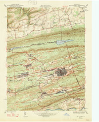
Editions of this 1947 Mt. Carmel Map
2 editions found
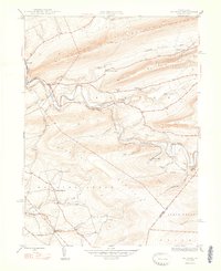
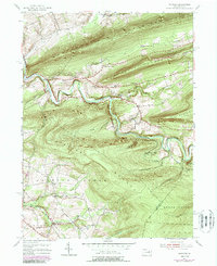
Historical Maps of Mount Carmel Through Time
14 maps found
1947 Mt. Carmel
Columbia County, PA
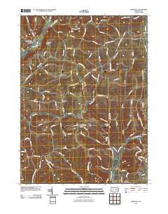
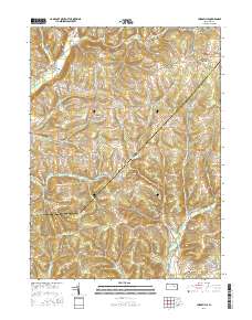
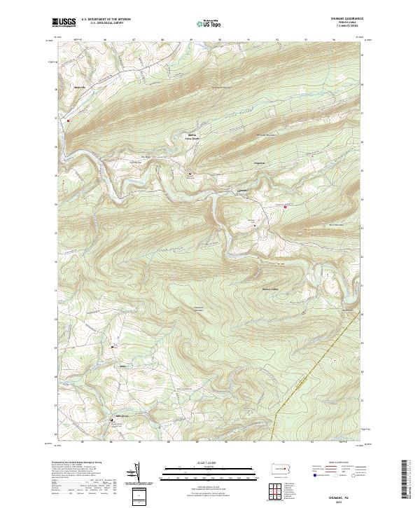
1948 Shumans
Columbia County, PA
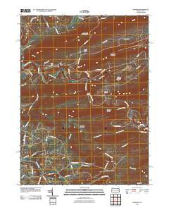
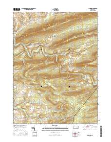
1955 Shumans
Columbia County, PA
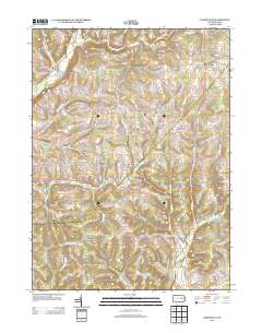
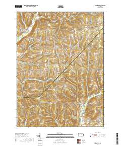
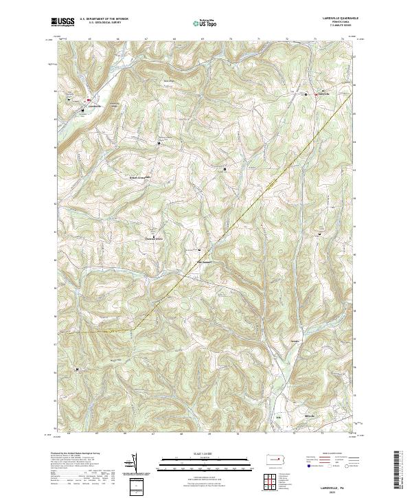
1968 Lairdsville
Columbia County, PA
2010 Lairdsville
Columbia County, PA
2010 Shumans
Columbia County, PA
2013 Lairdsville
Columbia County, PA
2013 Shumans
Columbia County, PA
2016 Lairdsville
Columbia County, PA
2016 Shumans
Columbia County, PA
2019 Lairdsville
Columbia County, PA
2019 Shumans
Columbia County, PA
2023 Lairdsville
Columbia County, PA
2023 Shumans
Columbia County, PA
Featured Locations
- Kulpmont, PA
- Marion Heights, PA
- Mount Carmel, PA
- Upper Sagon, Coal Township
- Dooleyville, Mount Carmel Township