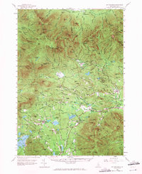
1958 Map of Mt. Chocorua
USGS Topo · Published 1971About this map
White Mountain National Forest dominates the northern half of this landscape, where a dense network of trails like the Piper Trail and Downes Brook Trail crisscross the peaks of the Sandwich Range. The Kancamagus Highway follows the course of the Swift River, providing access to the isolated settlement of Passaconaway and the cataracts of Sabbaday Falls. The rugged topography is defined by prominent elevations such as Mt Passaconaway and Mt Chocorua, with landmarks like The Bowl and Carrigain Outlook serving as key orientation points for the region's early 20th-century surveyors.
Find a feature on this map
186 named features on this map. Tap any name to fly to it.
Don’t see what you’re looking for? This feature index may not catch every label — zoom into the map to look around manually.
Map Details
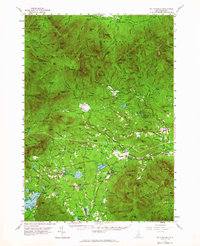
Editions of this 1958 Mt. Chocorua Map
3 editions found

Other maps of this area

1894 · North Conway
USGS Topo · 1:62,500

1895 · Crawford Notch
USGS Topo · 1:62,500

1896 · Crawford Notch
USGS Topo · 1:62,500

1896 · North Conway
USGS Topo · 1:62,500

1909 · Winnepesaukee
USGS Topo · 1:62,500

1925 · Holderness
USGS Topo · 1:62,500

1927 · Holderness
USGS Topo · 1:62,500

1928 · Wolfeboro
USGS Topo · 1:62,500

1928 · Plymouth
USGS Topo · 1:62,500

1929 · Franconia
USGS Topo · 1:62,500