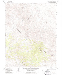
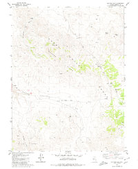
1979 Map of Mt. Ferguson
USGS Topo · Published 1987About this map
Mount Ferguson dominates the high ground of the Gabbs Range in this Mineral County survey based on 1970s fieldwork. This arid landscape is defined by its vital water sources, with numerous named points such as Paint Rock Spring, Indian Spring, and McGregor Spring scattered through the high elevations and canyon floors. The map reveals the extraction history of the region, noting several Mine and Prospects sites, particularly near the southern portion of the quadrangle. High-altitude travel is traced through Rhyolite Pass, while the desert floor is marked by the expansive Petrified Wash. The transition from the Gabbs Valley up into the complex drainage systems of Paint Rock Canyon and Redrock Canyon highlights the topographic isolation of these mining and prospecting districts in the late twentieth century.
Find a feature on this map
26 named features on this map. Tap any name to fly to it.
Don’t see what you’re looking for? This feature index may not catch every label — zoom into the map to look around manually.
Map Details
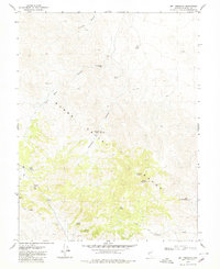
Editions of this 1979 Mt. Ferguson Map
2 editions found
Other maps of this area

1909 · Hawthorne
USGS Topo · 1:250,000

1911 · Hawthorne
USGS Topo · 1:250,000

1915 · Hawthorne
USGS Topo · 1:250,000

1948 · Walker Lake
USGS Topo · 1:250,000

1957 · Walker Lake
USGS Topo · 1:250,000

1962 · Walker Lake
USGS Topo · 1:250,000

1964 · Walker Lake
USGS Topo · 1:250,000
1979 · Indian Head Peak
USGS Topo · 1:24,000
1979 · Ramsey Spring
USGS Topo · 1:24,000
1979 · Win Wan Flat
USGS Topo · 1:24,000