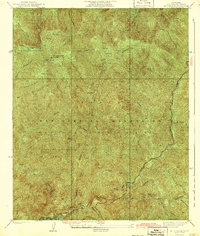
1942 Map of Mt. Gleason
USGS Topo · Published 1942About this map
Mt Gleason towers over this section of the San Gabriel Mountains, part of a complex landscape surveyed in the mid-1930s. The terrain is defined by dramatic elevation changes and a dense network of watercourses, including Fox Creek and Mill Creek, which feed into the Big Tujunga Canyon. The presence of the Big Tujunga Reservoir and the winding Angeles Crest Hwy. reflects the infrastructure development within the Angeles National Forest during this era. Small interior settlements and landmarks such as Messenger Flats and Colby Ranch provide specific points of interest for local historians, while the various named springs like Aliso Spring indicate the critical importance of water sources in this steep environment. A prominent Transmission Line and numerous firebreaks cut across the ridges, illustrating the early management and utility of this mountain region.
Find a feature on this map
22 named features on this map. Tap any name to fly to it.
Don’t see what you’re looking for? This feature index may not catch every label — zoom into the map to look around manually.
Map Details
Editions of this 1942 Mt. Gleason Map
4 editions found
Other maps of this area

1900 · Tujunga
USGS Topo · 1:62,500

1901 · Southern California Sheet No. 1
USGS Topo · 1:250,000

1904 · Southern California Sheet No. 1
USGS Topo · 1:250,000
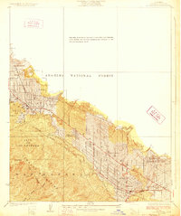
1928 · La Crescenta
USGS Topo · 1:24,000

1930 · Ravenna
USGS Topo · 1:24,000
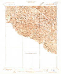
1933 · La Crescenta
USGS Topo · 1:24,000
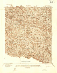
1934 · Mt. Lowe
USGS Topo · 1:24,000
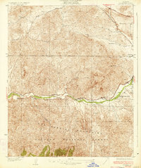
1934 · Ravenna
USGS Topo · 1:24,000
1934 · Mt. Wilson
USGS Topo · 1:24,000
1934 · Acton
USGS Topo · 1:24,000